Glasgow City Halls, Glasgow
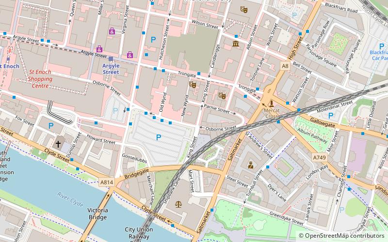
Map
Map

Facts and practical information
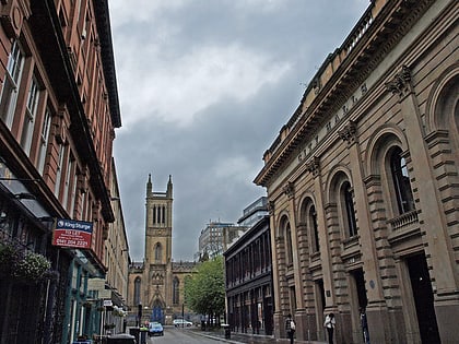
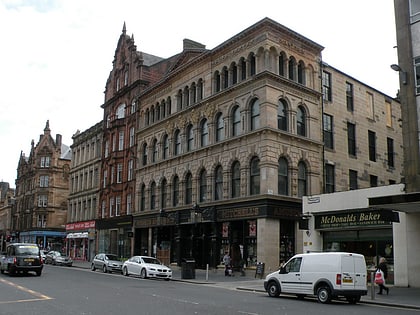
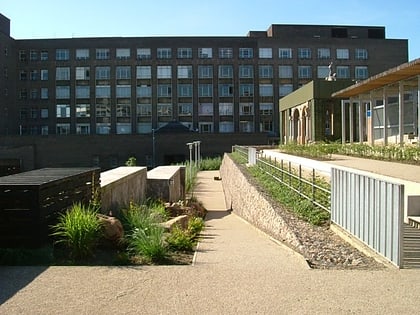
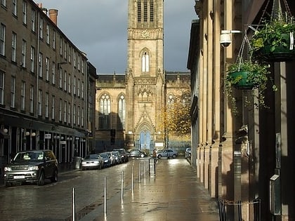
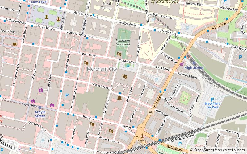
Glasgow's City Halls and Old Fruitmarket is a concert hall and former market located on Candleriggs, in the Merchant City, Glasgow, Scotland. ()
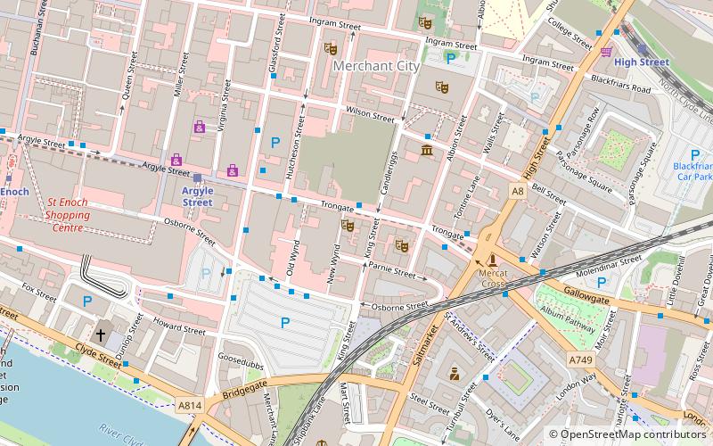
Coordinates: 55°51'32"N, 4°14'41"W
Day trips
Glasgow City Halls – popular in the area (distance from the attraction)
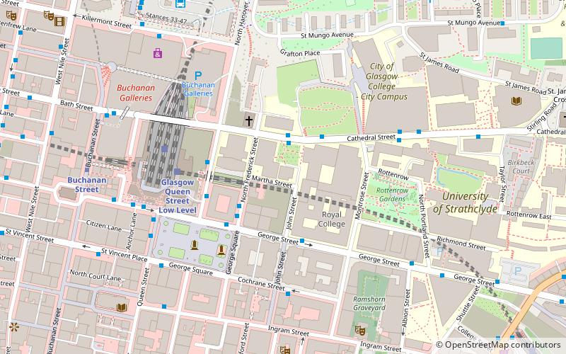
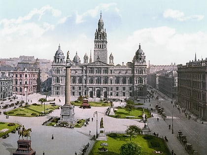
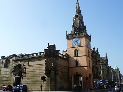
Nearby attractions include: The 13th Note, George Square, University of Strathclyde Students' Association, Duke of Wellington Statue.
Frequently Asked Questions (FAQ)
Which popular attractions are close to Glasgow City Halls?
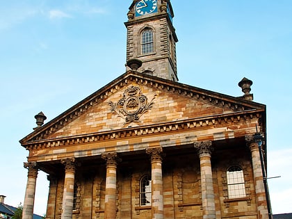
Nearby attractions include The Old Fruitmarket, Glasgow (1 min walk), Merchant City, Glasgow (2 min walk), The Ramshorn, Glasgow (2 min walk), Candleriggs, Glasgow (2 min walk).
How to get to Glasgow City Halls by public transport?
The nearest stations to Glasgow City Halls:
Bus
Train
Metro
Bus
- High Street / Blackfriars Street • Lines: c1 (3 min walk)
- Trongate / New Wynd • Lines: 2 (4 min walk)
Train
- High Street (5 min walk)
- Argyle Street (7 min walk)
Metro
- St Enoch • Lines: Subway (11 min walk)
- Buchanan Street • Lines: Subway (11 min walk)
