Maulden Wood

Gallery (2)
Map
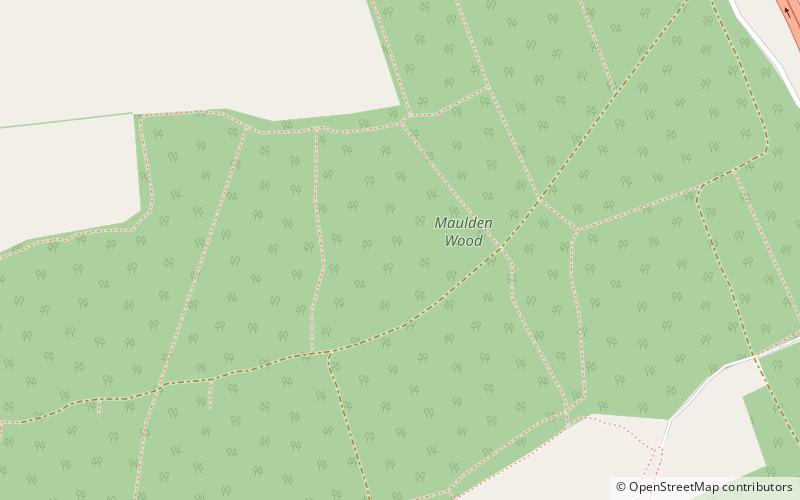

Map
Gallery
Facts and practical information
Maulden Wood is a woodland situated in Bedfordshire, England, near the village of Maulden, on the greensand ridge that stretches from Leighton Buzzard to Gamlingay. It includes Maulden Wood and Pennyfather's Hill, a 148.8 hectare, biological Site of Special Scientific Interest. ()
Coordinates: 52°2'20"N, 0°26'40"W
Day trips