Kendal College, Kendal

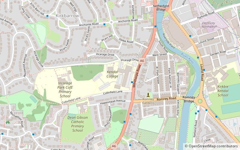
Map
Facts and practical information
Kendal College is a further education college situated in Kendal on the edge of the Lake District National Park. The college provides a range of training and education programmes, including Further Education, Higher Education and training courses to support local employers, as well as more diverse work such as hospitality consultancy for Cambridge University. ()
Coordinates: 54°19'4"N, 2°44'51"W
Day trips
Kendal College – popular in the area (distance from the attraction)
Nearby attractions include: Kendal Castle, Kendal Town Hall, Abbot Hall Art Gallery, Museum of Lakeland Life.
Frequently Asked Questions (FAQ)
Which popular attractions are close to Kendal College?
Nearby attractions include Museum of Lakeland Life, Kendal (10 min walk), Abbot Hall Art Gallery, Kendal (10 min walk), The Brewery Arts Centre, Kendal (13 min walk), Castle Howe, Kendal (13 min walk).
How to get to Kendal College by public transport?
The nearest stations to Kendal College:
Bus
Train
Bus
- Kendal College • Lines: 555, 755, 99, X6 (2 min walk)
- Romney Road • Lines: 555, 755, 99, X6 (4 min walk)
Train
- Kendal (27 min walk)
- Oxenholme Lake District (35 min walk)


