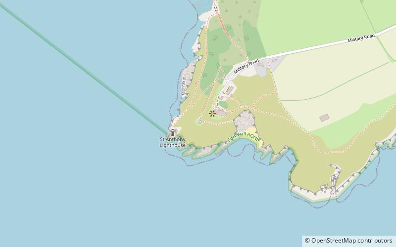
St Anthony Head, St Mawes
Map

Map

Facts and practical information
St Anthony Head is a National Trust property situated at the southernmost tip of the Roseland Peninsula, Cornwall, England, United Kingdom, overlooking the entrance to one of the world's largest natural harbours: Carrick Roads and the estuary of River Fal. It preserves the former St Anthony Battery, built in 1895–97 to defend the estuary of the River Fal. ()
Coordinates: 50°8'29"N, 5°0'54"W
Address
St Mawes
ContactAdd
Social media
Add
Day trips
St Anthony Head – popular in the area (distance from the attraction)
Nearby attractions include: St Mawes Castle, St Anthony's Lighthouse, St Mawes' Church, Roseland Visitor Centre.


