St. Mary's Church

Gallery (1)
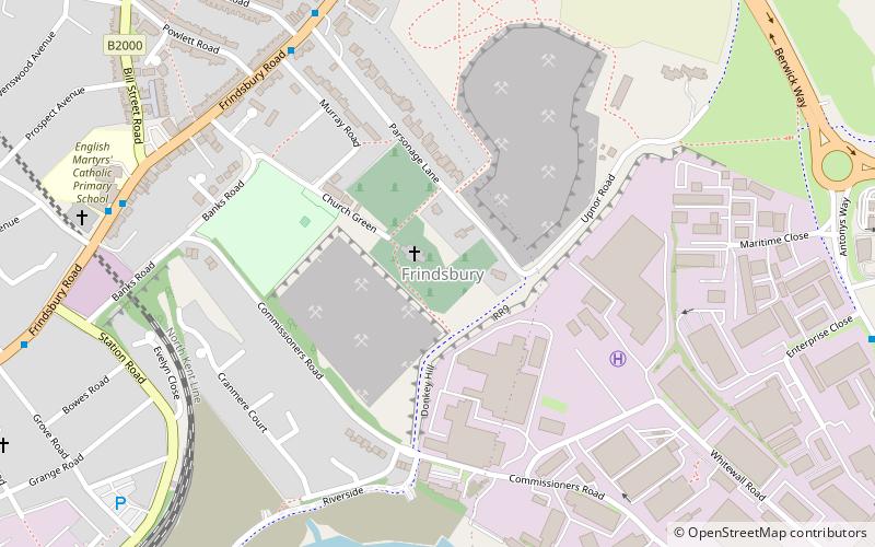
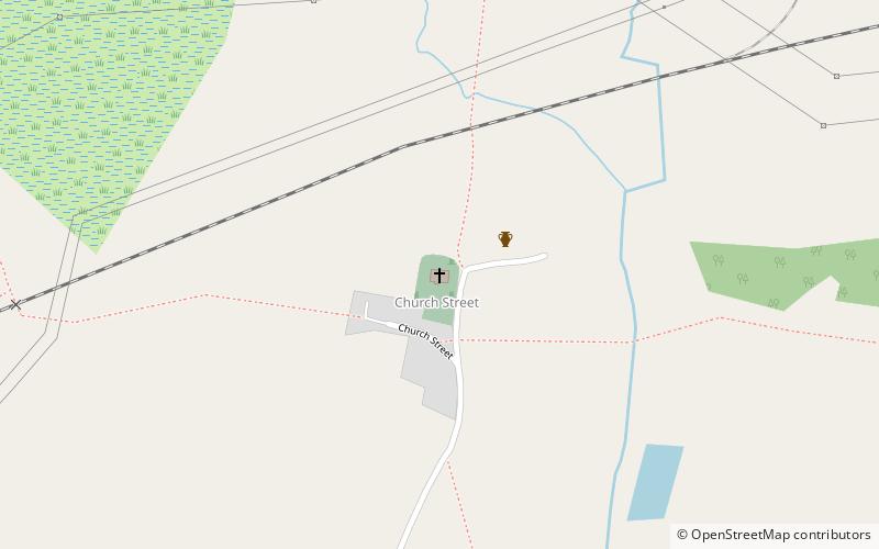
Map
Map
Facts and practical information
St Mary's Church is a redundant Anglican church in the village of Higham, Kent, England. It is recorded in the National Heritage List for England as a designated Grade I listed building, and is under the care of the Churches Conservation Trust. The church stands near the end of a road to the north of Lower Higham, some 4 miles northwest of Rochester. ()
Coordinates: 51°26'27"N, 0°28'6"E
Day trips