Watling Valley Ecumenical Partnership, Milton Keynes
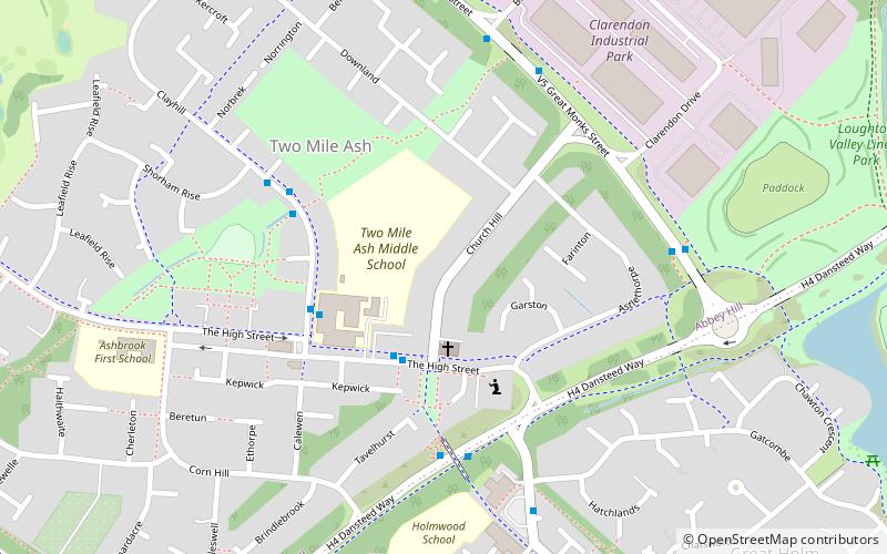
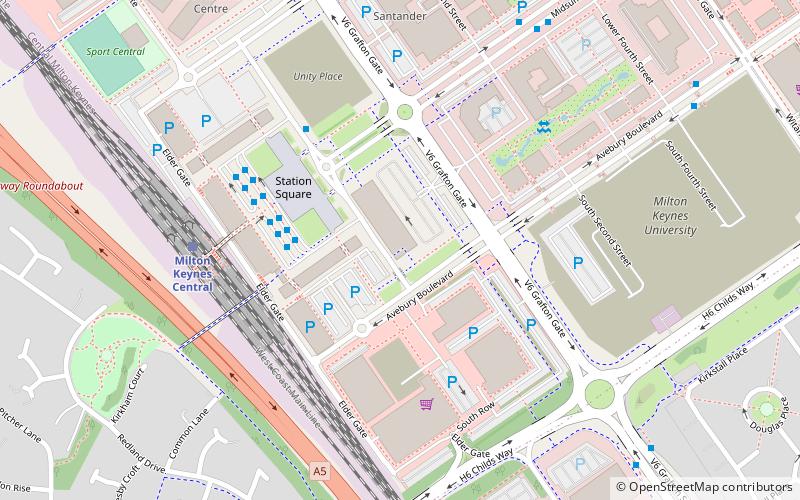
Map
Facts and practical information
The Watling Valley Ecumenical Partnership is a Local Ecumenical Partnership in Milton Keynes, England which belongs to the Church of England, The Baptist Union, the Methodist Church and the United Reformed Church. The Watling Valley is a large area on the western side of Milton Keynes. This area is covered by one Anglican Parish. ()
Coordinates: 52°2'20"N, 0°47'56"W
Address
Bradwell Abbey (Two Mile Ash)Milton Keynes
ContactAdd
Social media
Add
Getting there by public transportation
Public transportation stops near this location
- Bus
- Train
 Bus
Bus
- Calculate routeMilton Keynes Central 28 min walk
- Calculate routeZ4 29 min walk
- Calculate routeY4 30 min walk
Day trips


Frequently Asked Questions (FAQ)
Which popular attractions are close to Watling Valley Ecumenical Partnership?
Nearby attractions include Two Mile Ash, Milton Keynes (2 min walk), Bradwell Abbey, Milton Keynes (16 min walk), Concrete Cows, Milton Keynes (22 min walk), All Saints Church, Milton Keynes (23 min walk).
How to get to Watling Valley Ecumenical Partnership by public transport?
The nearest stations to Watling Valley Ecumenical Partnership:
Train
Bus
Train
- Milton Keynes Central (28 min walk)
Bus
- Z4 • Lines: X5 (29 min walk)
- Y4 • Lines: X5 (30 min walk)