Wigan Pier, Wigan
Map

Gallery

Facts and practical information
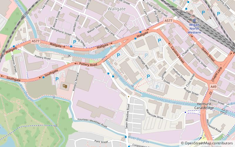
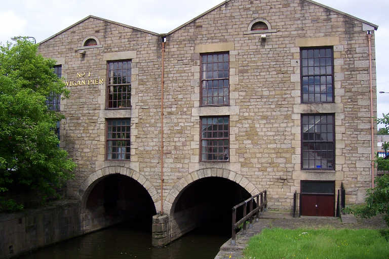
Wigan Pier is an area around the Leeds and Liverpool Canal in Wigan, Greater Manchester, England, south-west of the town centre. The name has humorous or ironic connotations since it conjures an image of a seaside pleasure pier, whereas Wigan is inland and a traditionally industrial town. ()
Coordinates: 53°32'28"N, 2°38'19"W
Day trips
Wigan Pier – popular in the area (distance from the attraction)
Nearby attractions include: DW Stadium, Museum of Wigan Life, Grand Arcade, The Galleries.
Frequently Asked Questions (FAQ)
Which popular attractions are close to Wigan Pier?
Nearby attractions include Trencherfield Mill, Wigan (1 min walk), St James' Church, Wigan (10 min walk), Adam Viaduct, Wigan (10 min walk), Wigan Urban Area, Wigan (10 min walk).
How to get to Wigan Pier by public transport?
The nearest stations to Wigan Pier:
Train
Bus
Train
- Wigan North Western (8 min walk)
- Wigan Wallgate (9 min walk)
Bus
- King Street/Wallgate • Lines: 22A, 360 (10 min walk)
- Library Street/Wigan Baths • Lines: 22A, 360 (12 min walk)


