Wire Lock
#1164 among destinations in the United Kingdom


Facts and practical information
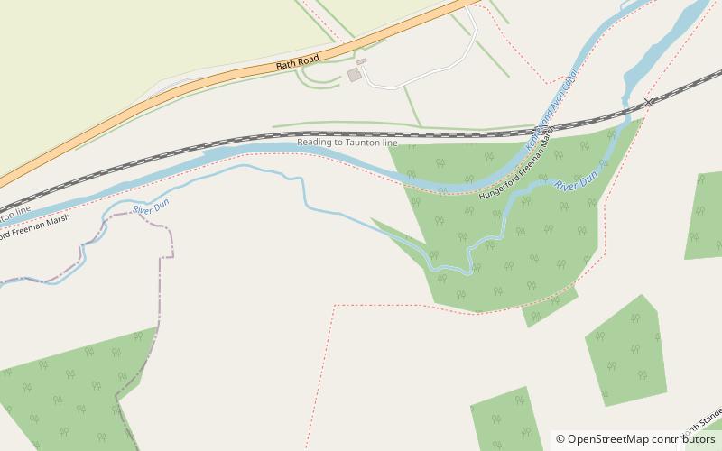
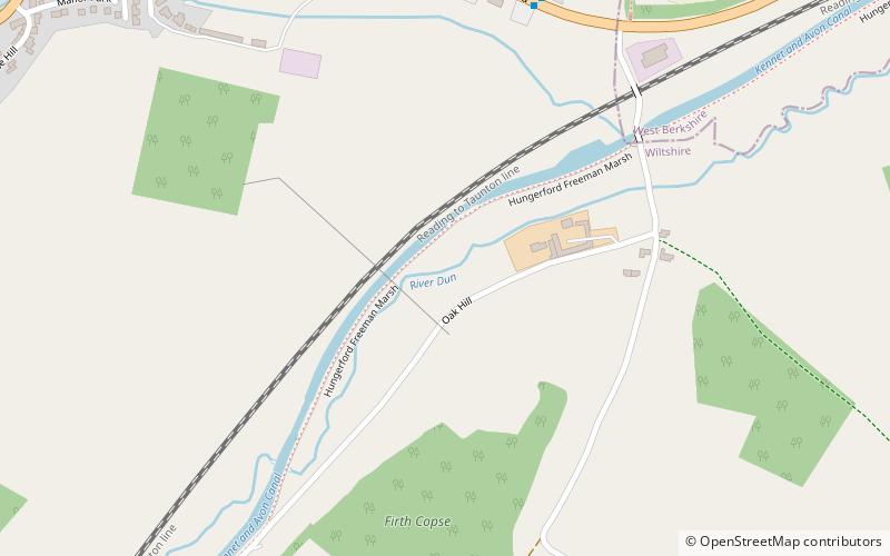
Wire Lock is a lock on the Kennet and Avon Canal, near Hungerford, Berkshire, England. ()
EnglandUnited Kingdom
Wire Lock plan & book
Unleash the traveler in you — discover the cheapest flight deals, find the perfect hotel or hostel nearby, and search for the best car rental prices. Travel at your own pace to discover new places and enjoy your journey.
Wire Lock – popular in the area (distance from the attraction)
Nearby attractions include: Wayfarer's Walk, Dun Mill Lock, Hungerford Lock, Hungerford Marsh Lock.
 Hiking, Hiking trail
Wayfarer's Walk
95 min walk • Nestled in the picturesque landscape of the United Kingdom, the Wayfarer's Walk is a haven for hiking enthusiasts and nature lovers alike. This enchanting hiking trail stretches over 70 miles, offering a magnificent journey through the rolling hills and verdant...
 Canal
CanalDun Mill Lock
18 min walk • Dun Mill Lock is a lock on the Kennet and Avon Canal, near Hungerford, Berkshire, England. The lock has a rise/fall of 5 ft 8 in. It is a grade II listed building.
 Canal
CanalHungerford Lock, Hungerford
44 min walk • Hungerford Lock is a lock on the Kennet and Avon Canal, at Hungerford, Berkshire, England. The lock has a rise/fall of 8 ft 0 in.
 Canal
CanalHungerford Marsh Lock, Hungerford
59 min walk • Hungerford Marsh Lock is a lock on the Kennet and Avon Canal, at Hungerford, Berkshire, England. The lock has a rise/fall of 8 ft 1 in.
 Canal
CanalCobbler's Lock
66 min walk • Cobbler's Lock is a lock on the Kennet and Avon Canal, near Hungerford, Berkshire, England. The lock has a rise/fall of 8 ft 3 in.
 Canal
CanalDreweatt's Lock
77 min walk • Dreweatt's Lock is a lock on the Kennet and Avon Canal, between Kintbury and Newbury, Berkshire, England. The lock has a rise/fall of 5 ft 9 in. It is a grade II listed building.
 Forest
Irish Hill Copse, Kintbury
69 min walk • Irish Hill Copse is a 15.9-hectare biological Site of Special Scientific Interest east of Kintbury in Berkshire. This site of coppiced ancient woodland includes an extensive area of calcareous ash/wych elm coppice on the hill sides, merging into wet ash/maple and acid oak/ash/hazel woodland with aspen, on the higher parts of the site.
 Library
Hungerford Library, Hungerford
41 min walk • Hungerford Town Hall is a municipal building in the High Street, Hungerford, Berkshire, England. The town hall, which is the meeting place of Hungerford Town Council, is a Grade II listed building.
 Canal
CanalPicketfield Lock, Hungerford
76 min walk • Picketfield Lock is a lock on the Kennet and Avon Canal, near Hungerford, Berkshire, England. The lock has a rise/fall of 7 ft 0 in.
 Canal
CanalFroxfield Bottom Lock, Hungerford
95 min walk • Froxfield Bottom Lock is a lock on the Kennet and Avon Canal, at Froxfield, Wiltshire, England. The lock has a rise/fall of 7 ft 0 in.
 Canal
CanalBrunsden Lock
16 min walk • Brunsdon Lock is a lock on the Kennet and Avon Canal, near Kintbury, Berkshire, England. The lock has a rise/fall of 4 ft 11 in. The Lock is also known as Brunsden Lock and was the site of a coal and grain merchant's business:Brunsdens for many years. It is a grade II listed building.


