Woodchurch, Greasby
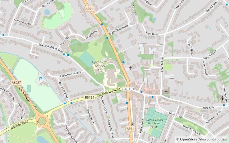
Map
Gallery
Facts and practical information
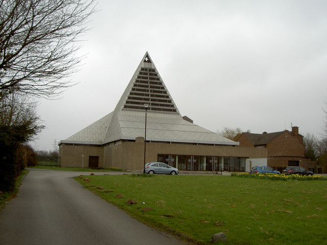
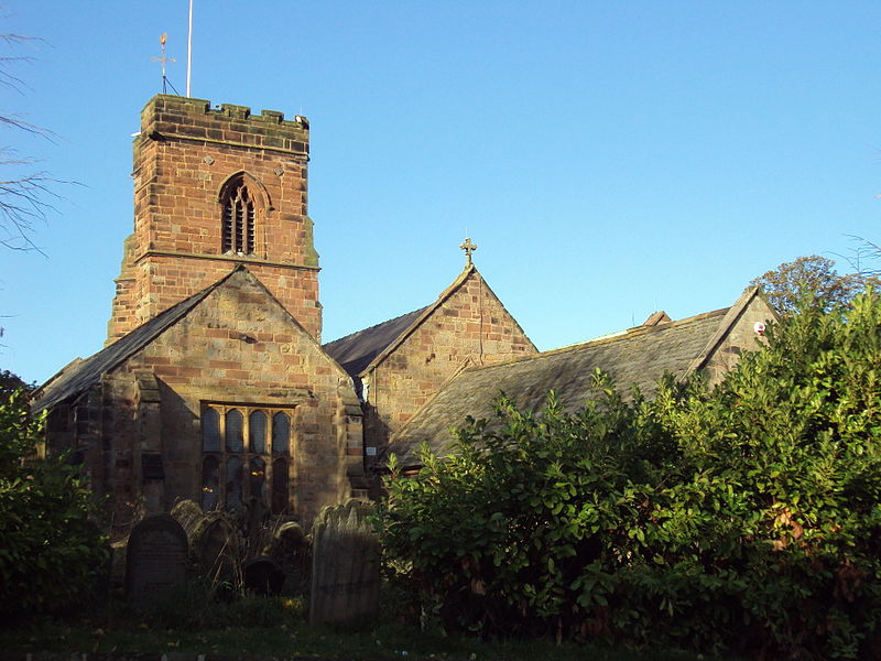
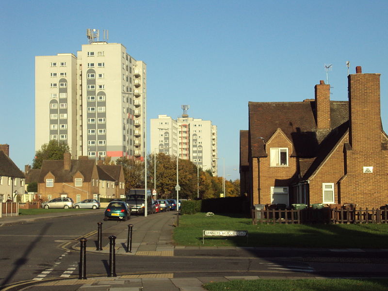
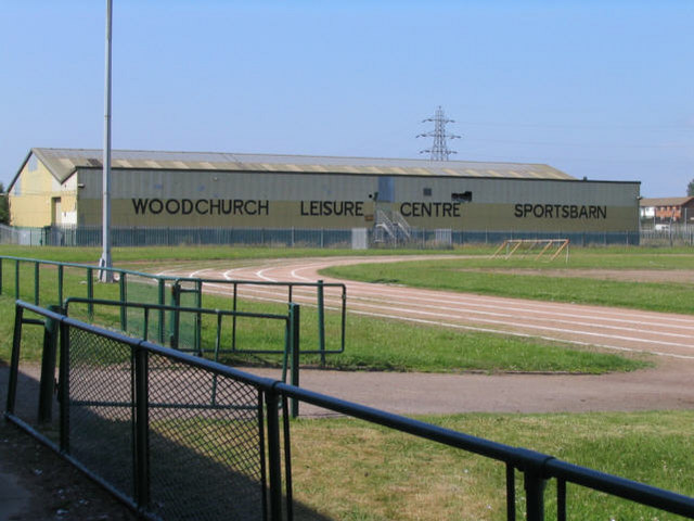
Woodchurch is an area of Birkenhead on the Wirral Peninsula, in England. Administratively, Woodchurch is within the Metropolitan Borough of Wirral, its parliamentary constituency is Wirral West, and its local council ward is Upton. At the 2001 Census, it had a population of 8,400. Woodchurch is dominated by a large housing development, known as the Woodchurch Estate. The district is served by several schools and has the major Arrowe Park Hospital just outside its boundary, which was built on 15 acres of the park itself and opened in 1982. ()
Coordinates: 53°22'23"N, 3°5'19"W
Address
Greasby
ContactAdd
Social media
Add
Day trips
Woodchurch – popular in the area (distance from the attraction)
Nearby attractions include: Arrowe Country Park, Upton, Holy Cross Church, Arrowe Park.
Frequently Asked Questions (FAQ)
Which popular attractions are close to Woodchurch?
Nearby attractions include Holy Cross Church, Greasby (2 min walk), Arrowe Park, Greasby (17 min walk), Arrowe Country Park, Greasby (17 min walk), Upton, Greasby (24 min walk).
How to get to Woodchurch by public transport?
The nearest stations to Woodchurch:
Train
Train
- Upton (24 min walk)


