Wilts & Berks Canal, Swindon
Map

Map

Facts and practical information
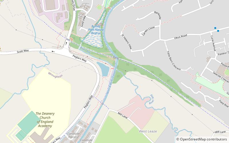
The Wilts & Berks Canal is a canal in the historic counties of Wiltshire and Berkshire, England, linking the Kennet and Avon Canal at Semington, near Melksham, to the River Thames at Abingdon. The North Wilts Canal merged with it to become a branch to the Thames and Severn Canal at Latton near Cricklade. Among professional trades boatmen, the canal was nicknamed the Ippey Cut, possibly short for Chippenham. ()
Length: 52 miCoordinates: 51°32'57"N, 1°48'13"W
Address
Swindon
ContactAdd
Social media
Add
Day trips
Wilts & Berks Canal – popular in the area (distance from the attraction)
Nearby attractions include: Swindon Designer Outlet, Museum of the Great Western Railway, Museum of Computing, Swindon Town Hall.
Frequently Asked Questions (FAQ)
Which popular attractions are close to Wilts & Berks Canal?
Nearby attractions include Wichelstowe, Swindon (11 min walk), Okus, Swindon (22 min walk), St Mark's Church, Swindon (24 min walk).
How to get to Wilts & Berks Canal by public transport?
The nearest stations to Wilts & Berks Canal:
Bus
Train
Bus
- Mannington Roundabout • Lines: 1 (14 min walk)
- Paddington Drive • Lines: 1 (15 min walk)
Train
- Swindon (35 min walk)


