All Saints Church, Staplehurst
Map

Gallery

Facts and practical information
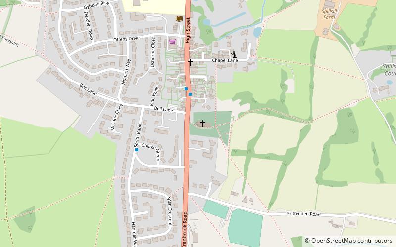
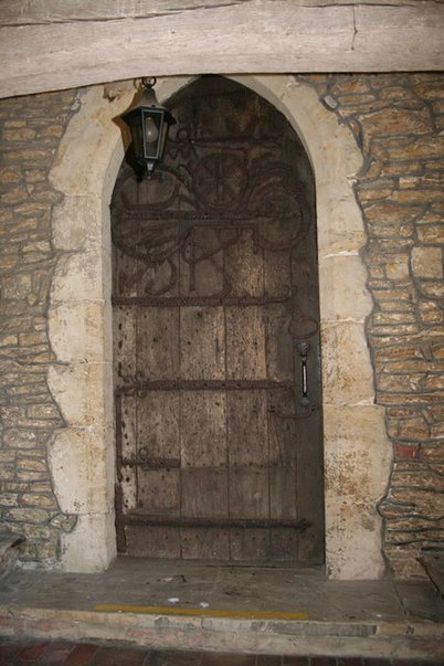
All Saints' Church, Staplehurst is the Anglican parish church in the village of Staplehurst, Kent, England. It was founded in the 12th century and was enlarged during the 13th to 15th centuries. The church is situated at the south end of the village, on the east side of the High Street, a Roman Road now designated as the A229. ()
Coordinates: 51°9'30"N, 0°33'10"E
Day trips
All Saints Church – popular in the area (distance from the attraction)
Nearby attractions include: Sissinghurst Castle Garden, Chart Hills Golf Club, Union Mill, Finchcocks.


