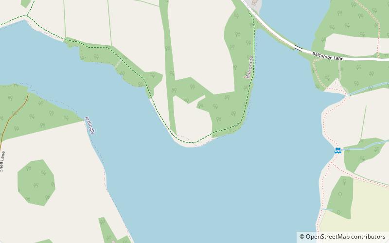
Ardingly Reservoir, High Weald Area of Outstanding Natural Beauty
Map

Map

Facts and practical information
Ardingly Reservoir is west of Ardingly in West Sussex. The southern end is a 74.5-hectare Local Nature Reserve owned and managed by South East Water. ()
Elevation: 194 ft a.s.l.Coordinates: 51°3'0"N, 0°6'18"W
Address
High Weald Area of Outstanding Natural Beauty
ContactAdd
Social media
Add
Day trips
Ardingly Reservoir – popular in the area (distance from the attraction)
Nearby attractions include: Wakehurst Place, Ouse Valley Viaduct, St Peter's Church, Ardingly College Chapel.
Frequently Asked Questions (FAQ)
How to get to Ardingly Reservoir by public transport?
The nearest stations to Ardingly Reservoir:
Bus
Bus
- Gardeners Arms • Lines: 272 (28 min walk)
- Hett Close • Lines: 272 (29 min walk)


