Attenborough, Nottingham
Map
Gallery
Facts and practical information
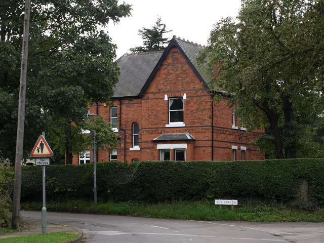
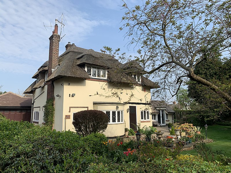
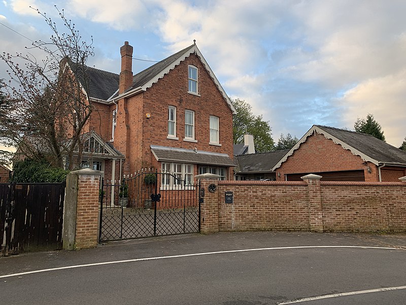
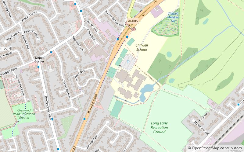
Attenborough is a village in the Borough of Broxtowe in Nottinghamshire, England. It forms part of the Greater Nottingham area, and is 4+1⁄2 miles to the southwest of the city of Nottingham, between Long Eaton and Beeston. It adjoins the suburbs of Toton to the west and Chilwell to the north. The population of the ward, as at the 2011 Census, was 2,328. ()
Address
Nottingham
ContactAdd
Social media
Add
Day trips
Attenborough – popular in the area (distance from the attraction)
Nearby attractions include: St Mary's Church, Chilwell Filling Factory Memorial, St George's Church, Christ Church.
Frequently Asked Questions (FAQ)
Which popular attractions are close to Attenborough?
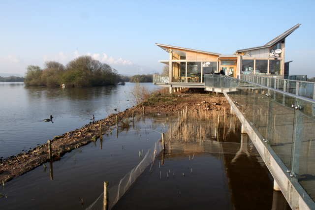
Nearby attractions include St Mary's Church, Nottingham (2 min walk), Attenborough Nature Centre, Attenborough Nature Reserve (12 min walk), Chilwell Filling Factory Memorial, Nottingham (21 min walk).
How to get to Attenborough by public transport?
The nearest stations to Attenborough:
Train
Bus
Tram
Train
- Attenborough (3 min walk)
- Beeston (37 min walk)
Bus
- Ireton Grove • Lines: 510 (5 min walk)
- Crofton Road • Lines: 510 (8 min walk)
Tram
- High Road - Central College • Lines: 1 (30 min walk)
- Bramcote Lane • Lines: 1 (30 min walk)


