Clun Forest, Clun

Map
Facts and practical information
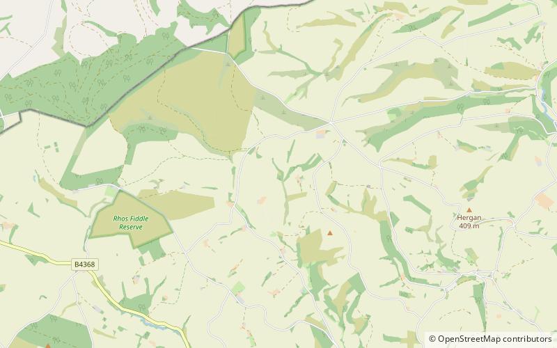
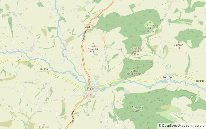
Clun Forest is a remote, rural area of open pastures, moorland and mixed deciduous/coniferous woodland in the southwest part of the English county of Shropshire and also just over the border into Powys, Wales. ()
Coordinates: 52°28'0"N, 3°7'60"W
Address
Clun
ContactAdd
Social media
Add
Day trips
Clun Forest – popular in the area (distance from the attraction)
Nearby attractions include: Clun Castle, Dolforwyn Castle, Clun Bridge, St Michael and All Angels Church.


