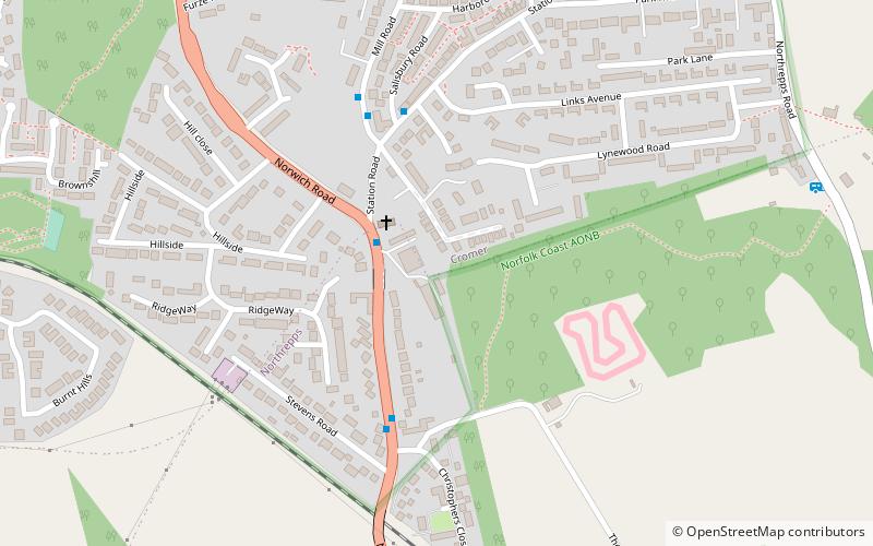
Cromer Tunnel, North Norfolk
Map

Map

Facts and practical information
The Cromer Tunnel was built by the Norfolk and Suffolk Joint Railway to take their Cromer Beach to Mundesley line under the Great Eastern's Cromer High to Norwich line. Both portals of the tunnels are open but undergrowth and modern housing in the area make access difficult. ()
Coordinates: 52°55'4"N, 1°18'33"E
Address
North Norfolk
ContactAdd
Social media
Add
Day trips
Cromer Tunnel – popular in the area (distance from the attraction)
Nearby attractions include: Pavilion Theatre, Cromer Lighthouse, Cromer Pier, Cromer.
Frequently Asked Questions (FAQ)
How to get to Cromer Tunnel by public transport?
The nearest stations to Cromer Tunnel:
Bus
Train
Bus
- Mill Road, adj • Lines: X5 (2 min walk)
- The Avenue, opp • Lines: X5 (4 min walk)
Train
- Roughton Road (10 min walk)
- Cromer (29 min walk)


