Glasgow Empire Theatre, Glasgow
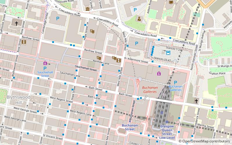
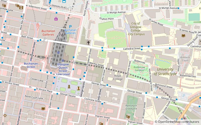
Map
Facts and practical information
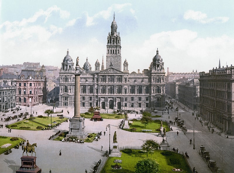
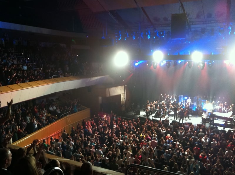
Glasgow Empire Theatre, known as the Glasgow Palace Empire until the early 1900s, was a major theatre in Glasgow, Scotland, which opened in 1897 on the site of the Gaiety Theatre at 31–35 Sauchiehall Street. It was one of the leading theatres in the UK chain of theatres owned and developed by Moss Empires under the chairmanship of Sir Edward Moss, who served his apprenticeship in Greenock and elsewhere. ()
Coordinates: 55°51'52"N, 4°15'16"W
Address
City Centre (Cowcaddens)Glasgow
ContactAdd
Social media
Add
Getting there by public transportation
Public transportation stops near this location
- Metro
- Bus
- Train
 Metro
Metro
- Calculate routeRenfield Street / Pavilion Theatre 2 min walk
- Calculate routeBath Street / Renfield Street 2 min walk
- Calculate routeHope Street / No 198 3 min walk
- Calculate routeWest Regent Street / Renfield Street 3 min walk
- Calculate routeBuchanan Street 4 min walk
- Calculate routeCowcaddens 8 min walk
- Calculate routeSt Enoch 13 min walk
- Calculate routeSt Georges Cross 19 min walk
- Calculate routeGlasgow Queen Street 5 min walk
- Calculate routeGlasgow Queen Street Low Level 6 min walk
- Calculate routeGlasgow Central 10 min walk
- Calculate routeGlasgow Central Low Level 12 min walk
Day trips
Glasgow Empire Theatre – popular in the area (distance from the attraction)
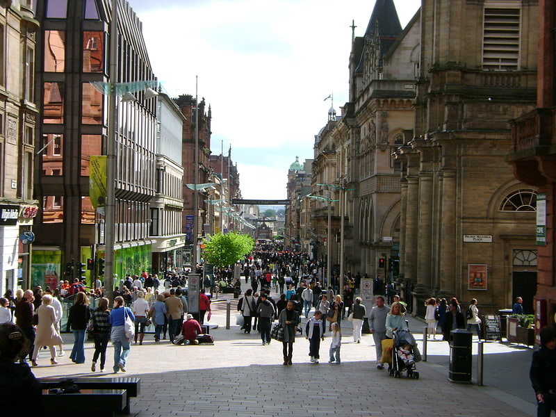
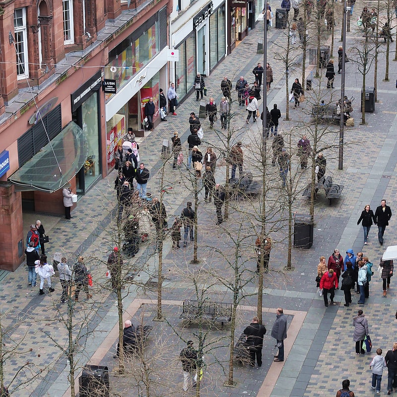
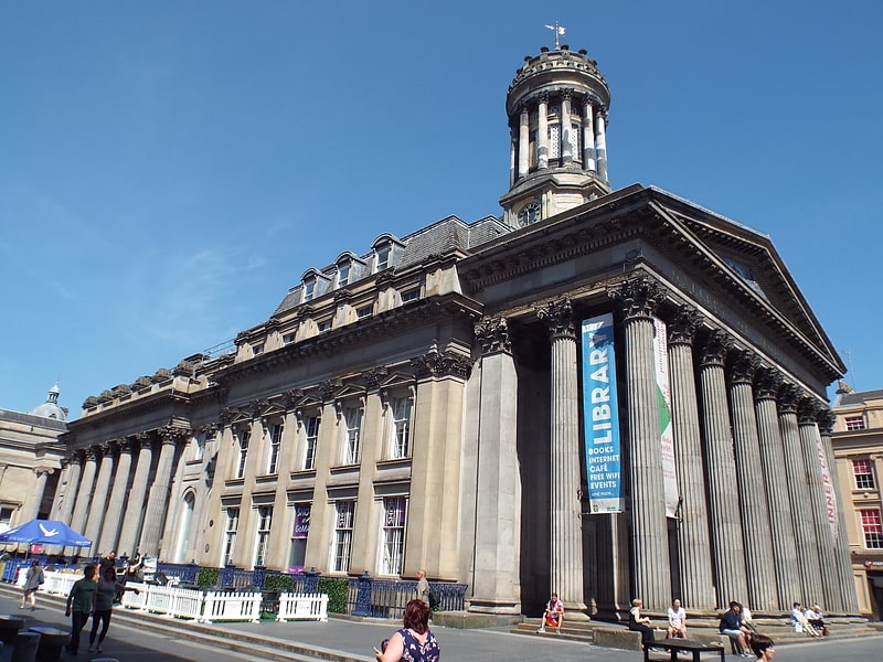
Nearby attractions include: Buchanan Street, Sauchiehall Street, Gallery of Modern Art, The Lighthouse.


Frequently Asked Questions (FAQ)
Which popular attractions are close to Glasgow Empire Theatre?
Nearby attractions include Glasgow Royal Concert Hall, Glasgow (2 min walk), Pavilion Theatre, Glasgow (2 min walk), Glasgow city centre, Glasgow (3 min walk), Ingram Street, Glasgow (4 min walk).
How to get to Glasgow Empire Theatre by public transport?
The nearest stations to Glasgow Empire Theatre:
Bus
Metro
Train
Bus
- Renfield Street / Pavilion Theatre • Lines: 3 (2 min walk)
- Bath Street / Renfield Street • Lines: 38, 38A (2 min walk)
Metro
- Buchanan Street • Lines: Subway (4 min walk)
- Cowcaddens • Lines: Subway (8 min walk)
Train
- Glasgow Queen Street (5 min walk)
- Glasgow Queen Street Low Level (6 min walk)