Hardman Street, Liverpool
Map
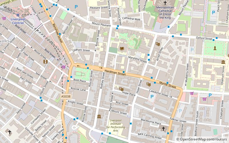
Map

Facts and practical information
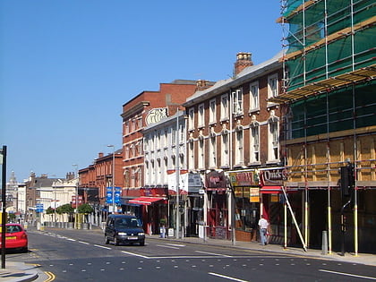
Hardman Street is a major street in Liverpool, England. It forms part of the A5039 and joins Leece Street to the west and Myrtle Street to the west. It lies within the postal district L1 in Liverpool city centre. It is named after the Hardman family of Allerton Hall. ()
Coordinates: 53°24'6"N, 2°58'21"W
Address
Liverpool
ContactAdd
Social media
Add
Day trips
Hardman Street – popular in the area (distance from the attraction)
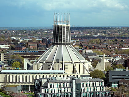
Nearby attractions include: Liverpool Cathedral, Liverpool Metropolitan Cathedral, Korova, The Black-E.
Frequently Asked Questions (FAQ)
Which popular attractions are close to Hardman Street?
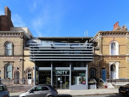
Nearby attractions include Rodney Street, Liverpool (1 min walk), Unity Theatre, Liverpool (2 min walk), Aldham Robarts Library, Liverpool (2 min walk), Sheppard-Worlock Statue, Liverpool (3 min walk).
How to get to Hardman Street by public transport?
The nearest stations to Hardman Street:
Train
Bus
Train
- Liverpool Central (9 min walk)
- Liverpool Lime Street (12 min walk)
Bus
- London Road Q • Lines: 18 (13 min walk)
- Pembroke Place Stop P • Lines: 18 (13 min walk)
