King William Street, London
Map
Facts and practical information
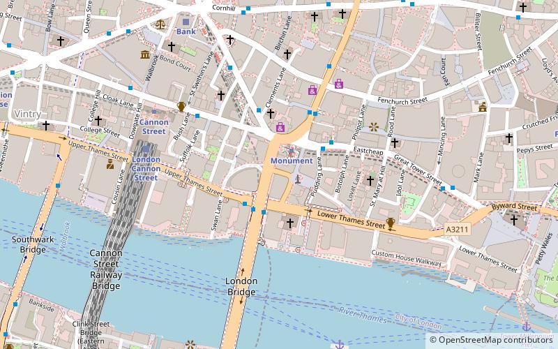
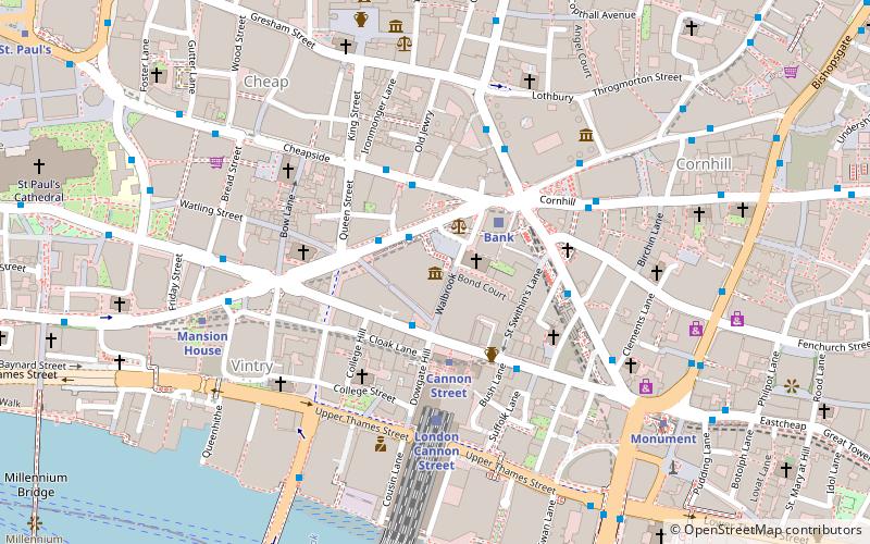
King William Street is a street in the City of London, the historic nucleus and modern financial centre of London. It is a two-way street linking Lombard Street, at its northern end, with London Bridge, which marks the start of the start of the A3 route to Portsmouth. ()
Address
City of London (Bridge)London
ContactAdd
Social media
Add
Getting there by public transportation
Public transportation stops near this location
- Metro
- Bus
- Light rail
- Train
- Ferry
 Metro
Metro
- Calculate routeMonument Station 1 min walk
- Calculate routeFenchurch Street 4 min walk
- Calculate routeLondon Bridge 7 min walk
- Calculate routeOld Broad Street 8 min walk
- Calculate routeMonument 1 min walk
- Calculate routeCannon Street 5 min walk
- Calculate routeBank 6 min walk
- Calculate routeLondon Bridge 9 min walk
- Calculate routeBank Platform 9 3 min walk
- Calculate routeTower Gateway Platform 1 14 min walk
- Calculate routeLondon Cannon Street 5 min walk
- Calculate routeBank 7 min walk
- Calculate routeLondon Fenchurch Street 11 min walk
- Calculate routeLondon Blackfriars 19 min walk
- Calculate routeLondon Bridge City Pier 7 min walk
- Calculate routeTower Millennium Pier 10 min walk
- Calculate routeBankside Pier 12 min walk
- Calculate routeBlackfriars Pier 16 min walk
Maps Tube
Tube
TubeDay trips
King William Street – popular in the area (distance from the attraction)
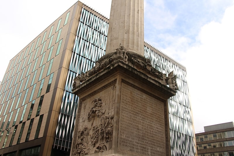
Nearby attractions include: The Monument, Leadenhall Market, Old Billingsgate Market, London Bridge.


Frequently Asked Questions (FAQ)
Which popular attractions are close to King William Street?
Nearby attractions include The Monument, London (1 min walk), St Magnus the Martyr, London (2 min walk), St Clement's, London (2 min walk), St Mary-at-Hill, London (4 min walk).
How to get to King William Street by public transport?
The nearest stations to King William Street:
Bus
Metro
Light rail
Train
Ferry
Bus
- Monument Station • Lines: 388 (1 min walk)
- Fenchurch Street • Lines: 133, 26, 388, 8, N11, N133, N242, N26, N8 (4 min walk)
Metro
- Monument • Lines: Circle, District (1 min walk)
- Cannon Street • Lines: Circle, District (5 min walk)
Light rail
- Bank Platform 9 • Lines: B-L, B-Wa (3 min walk)
- Tower Gateway Platform 1 • Lines: Tg-B (14 min walk)
Train
- London Cannon Street (5 min walk)
- Bank (7 min walk)
Ferry
- London Bridge City Pier • Lines: Rb1, Rb1X, Rb2, Rb6 (7 min walk)
- Tower Millennium Pier • Lines: Rb1, Rb1X, Rb2, Red Tour (10 min walk)