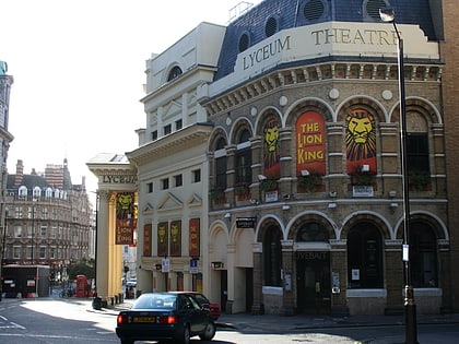
The Coal Hole, London
Map
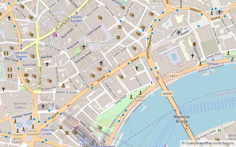
Map

Facts and practical information
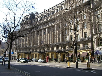
The Coal Hole is a Grade II listed public house at 91 Strand, London. ()
Coordinates: 51°30'37"N, 0°7'16"W
Address
91-92 Strand, WC2R 0DWCity of Westminster (St. James's)London
Contact
+44 20 7379 9883
Social media
Add
Day trips
The Coal Hole – popular in the area (distance from the attraction)
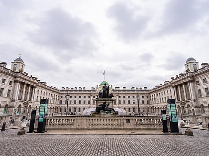
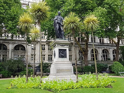
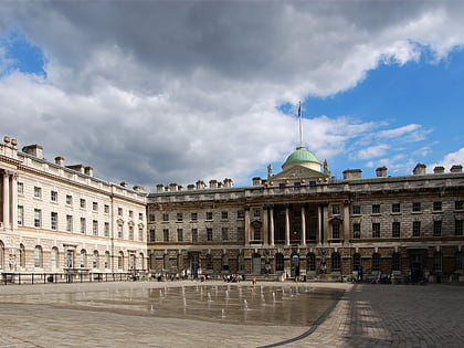
Nearby attractions include: London Transport Museum, Royal Opera House, Somerset House, Victoria Embankment Gardens.
Frequently Asked Questions (FAQ)
Which popular attractions are close to The Coal Hole?
Nearby attractions include Savoy Theatre, London (1 min walk), Vaudeville Theatre, London (2 min walk), Savoy Chapel, London (2 min walk), Adelphi Theatre, London (3 min walk).
How to get to The Coal Hole by public transport?
The nearest stations to The Coal Hole:
Bus
Train
Metro
Ferry
Bus
- Southampton Street / Covent Garden • Lines: N26 (1 min walk)
- Savoy Street • Lines: N26 (2 min walk)
Train
- Charing Cross (6 min walk)
- London Waterloo (17 min walk)
Metro
- Covent Garden • Lines: Piccadilly (6 min walk)
- Embankment • Lines: Bakerloo, Circle, District, Northern (6 min walk)
Ferry
- Embankment • Lines: Green Tour, Rb1, Rb1X, Rb2, Rb6 (6 min walk)
- Festival Pier • Lines: Green Tour (7 min walk)

 Tube
Tube
