St Radegund, Cambridge
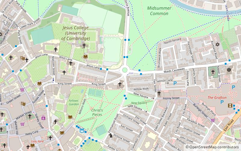
Map

Map

Facts and practical information
St Radegund is a pub in King Street, Cambridge, England. It is named after St Radegund, a Frankish saint associated with the nearby Jesus College. It was closed under notice of forfeiture in August 2019 but is expected to reopen under a new landlord in 2021. ()
Coordinates: 52°12'28"N, 0°7'36"E
Address
MarketCambridge
Contact
+44 1223 311794
Social media
Add
Day trips
St Radegund – popular in the area (distance from the attraction)
Nearby attractions include: Sidney Street, Petty Cury, Sussex Street, University Pitt Club.
Frequently Asked Questions (FAQ)
Which popular attractions are close to St Radegund?
Nearby attractions include Wesley Methodist Church, Cambridge (1 min walk), Christ's Pieces, Cambridge (4 min walk), King Street, Cambridge (4 min walk), All Saints' Church, Cambridge (4 min walk).
How to get to St Radegund by public transport?
The nearest stations to St Radegund:
Bus
Train
Bus
- Belmont Place • Lines: 14, Citi 2, Citi 5, Citi 6 (2 min walk)
- Jesus College • Lines: 9, Citi 4, X9 (2 min walk)
Train
- Cambridge (27 min walk)


