Praed Street, London

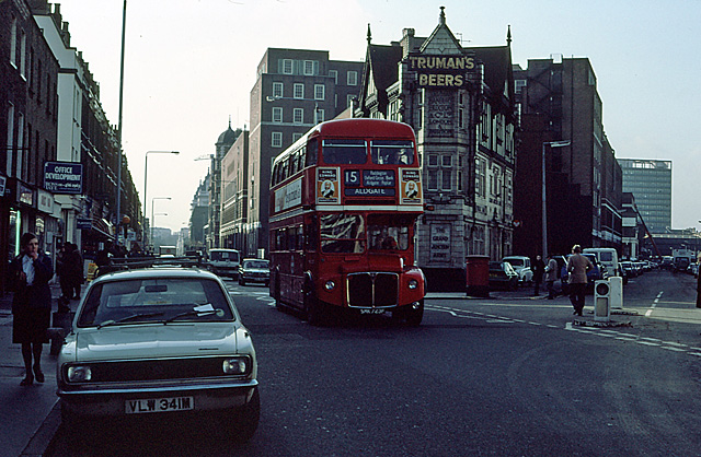
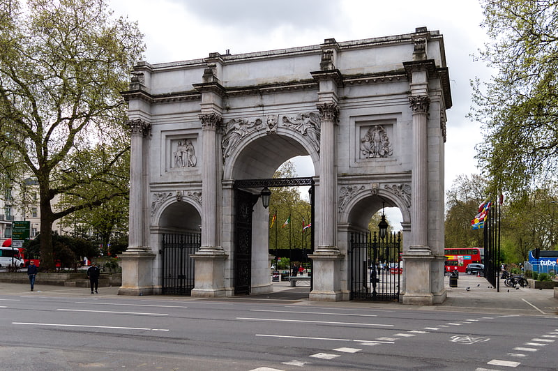
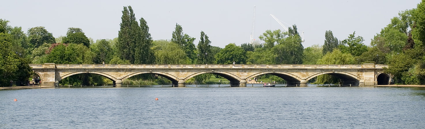
Gallery (3)
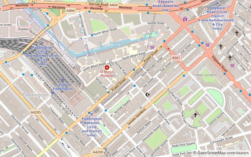
Map
Map
Gallery
Facts and practical information
Praed Street is a street in Paddington, west London, in the City of Westminster, most notable for being the location of London Paddington station. It runs south-westerly, straight from Edgware Road to Craven Road, Spring Street and Eastbourne Terrace. ()
Coordinates: 51°31'1"N, 0°10'23"W
Address
City of Westminster (Hyde Park)London
ContactAdd
Social media
Add
Getting there by public transportation
Public transportation stops near this location
- Metro
- Bus
- Train
 Metro
Metro
- Calculate routePaddington 7 min walk
- Calculate routeEdgware Road 8 min walk
- Calculate routeLancaster Gate 10 min walk
- Calculate routeLondon Paddington 5 min walk
- Calculate routeLondon Marylebone 17 min walk
- Calculate routeHermitage Street 6 min walk
- Calculate routePaddington Station / Eastbourne Terrace 7 min walk
- Calculate routeBishops Bridge 8 min walk
- Calculate routeBishops Bridge / Paddington Station 8 min walk
Maps Tube
Tube
TubeDay trips


Frequently Asked Questions (FAQ)
Which popular attractions are close to Praed Street?
Nearby attractions include Paddington, London (1 min walk), Paddington Basin, London (3 min walk), The Rolling Bridge, London (4 min walk), Merchant Square Footbridge, London (4 min walk).
How to get to Praed Street by public transport?
The nearest stations to Praed Street:
Metro
Train
Bus
Metro
- Paddington • Lines: Bakerloo, Circle, District (7 min walk)
- Edgware Road • Lines: Bakerloo, Circle, District, Hammersmith & City (8 min walk)
Train
- London Paddington (5 min walk)
- London Marylebone (17 min walk)
Bus
- Hermitage Street • Lines: 18, 332, N18 (6 min walk)
- Paddington Station / Eastbourne Terrace • Lines: 205, 23, 27, 332, 36, 7, N205, N27, N7 (7 min walk)