St Thomas the Apostle, London
Map

Map

Facts and practical information
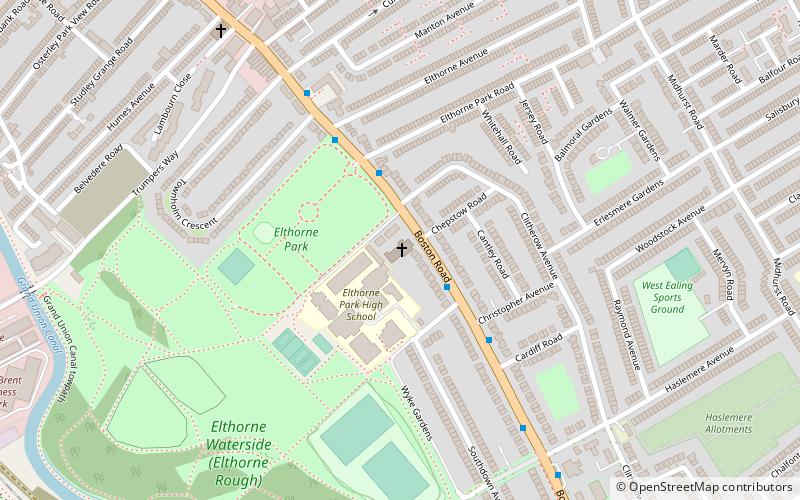
St Thomas the Apostle is a Church of England church, which is situated along Boston Road in Hanwell, in the London Borough of Ealing. Designed by Sir Edward Maufe, It forms part of the Diocese of London and can hold 428 people. English Heritage has listed it as a Grade II* building. ()
Coordinates: 51°30'4"N, 0°19'49"W
Address
Ealing (Hanwell)London
ContactAdd
Social media
Add
Day trips
St Thomas the Apostle – popular in the area (distance from the attraction)
Nearby attractions include: Brent Valley Golf Course, Osterley Park, Griffin Park, Pitzhanger Manor.
Frequently Asked Questions (FAQ)
Which popular attractions are close to St Thomas the Apostle?
Nearby attractions include City of Westminster Cemetery, London (11 min walk), Hanwell, London (14 min walk), Blondin Park, London (17 min walk), Ealing Market, London (17 min walk).
How to get to St Thomas the Apostle by public transport?
The nearest stations to St Thomas the Apostle:
Bus
Metro
Train
Bus
- Christopher Avenue • Lines: 195, E8 (3 min walk)
- Elthorne Park Road • Lines: 195, E8 (3 min walk)
Metro
- Boston Manor • Lines: Piccadilly (12 min walk)
- Northfields • Lines: Piccadilly (19 min walk)
Train
- Hanwell (21 min walk)
- West Ealing (25 min walk)

 Tube
Tube


