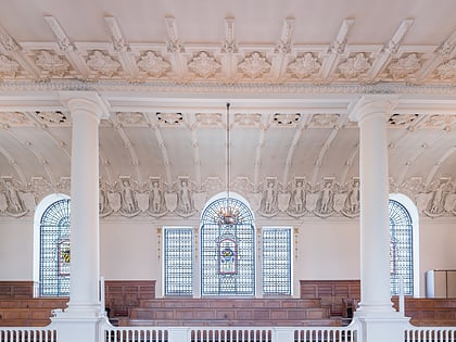
East India Arms, London
Map

Map

Facts and practical information
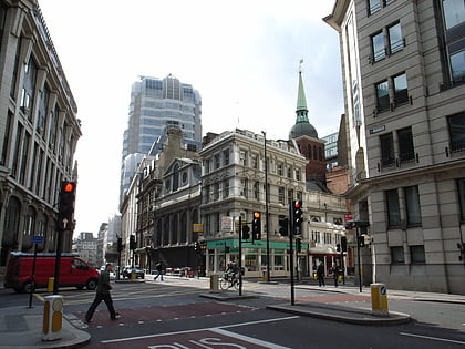
The East India Arms is a pub in the City of London. The building is located on Fenchurch Street next to the place where the East India Company had its headquarters. ()
Coordinates: 51°30'44"N, 0°4'45"W
Address
67 Fenchurch StreetCity of London (Aldgate)London
Contact
+44 20 7265 5121
Social media
Add
Day trips
East India Arms – popular in the area (distance from the attraction)
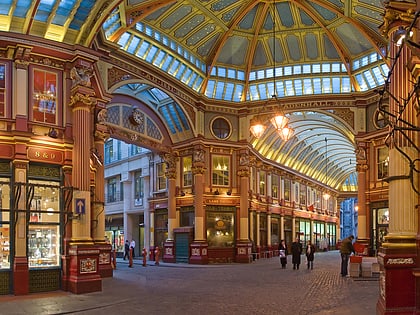
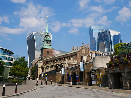
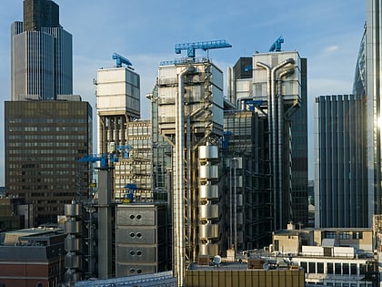
Nearby attractions include: Leadenhall Market, 30 St Mary Axe, Baltic Exchange, St Peter upon Cornhill.
Frequently Asked Questions (FAQ)
Which popular attractions are close to East India Arms?
Nearby attractions include Fenchurch Street, London (2 min walk), St Katharine Cree, London (2 min walk), Holy Trinity Priory, London (3 min walk), St Olave Hart Street, London (3 min walk).
How to get to East India Arms by public transport?
The nearest stations to East India Arms:
Train
Bus
Metro
Light rail
Ferry
Train
- London Fenchurch Street (3 min walk)
- Bank (12 min walk)
Bus
- Minories • Lines: 075 (5 min walk)
- Aldgate Bus Station • Lines: 242, 254, N253 (6 min walk)
Metro
- Aldgate • Lines: Circle, Metropolitan (6 min walk)
- Tower Hill • Lines: Circle, District (6 min walk)
Light rail
- Tower Gateway Platform 1 • Lines: Tg-B (7 min walk)
- Bank Platform 9 • Lines: B-L, B-Wa (10 min walk)
Ferry
- Tower Millennium Pier • Lines: Rb1, Rb1X, Rb2, Red Tour (9 min walk)
- London Bridge City Pier • Lines: Rb1, Rb1X, Rb2, Rb6 (12 min walk)

 Tube
Tube