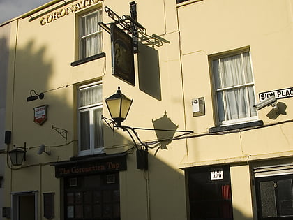
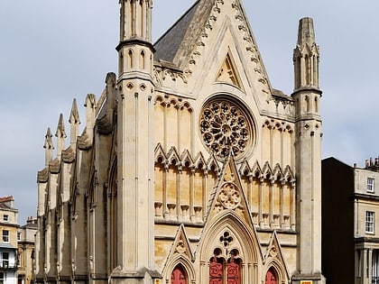
The Coronation Tap, Bristol
Map
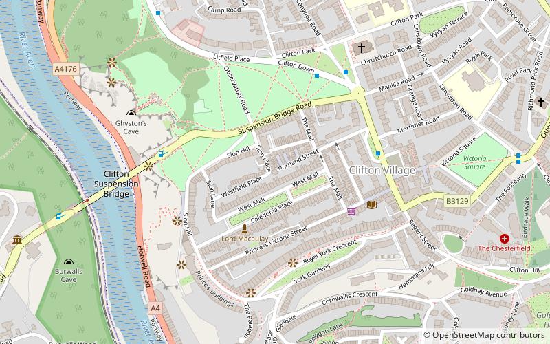
Map

Facts and practical information
The Coronation Tap is a ciderhouse, a pub that specialises in serving cider, in the Clifton suburb of the English city of Bristol. ()
Coordinates: 51°27'19"N, 2°37'22"W
Address
8 Sion Place, Clifton, BS8 4AXClifton (Clifton Village)Bristol
Contact
+44 117 973 9617
Social media
Add
Day trips
The Coronation Tap – popular in the area (distance from the attraction)
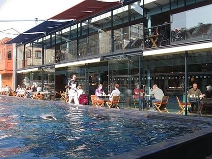
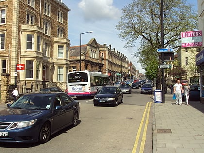
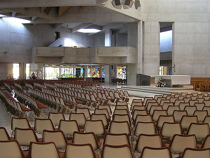
Nearby attractions include: Lido, Whiteladies Road, Bristol Zoo, Clifton Suspension Bridge.
Frequently Asked Questions (FAQ)
Which popular attractions are close to The Coronation Tap?
Nearby attractions include Caledonia Place, Bristol (2 min walk), The Clifton Club, Bristol (3 min walk), Royal York Crescent, Bristol (3 min walk), Cornwallis Crescent, Bristol (5 min walk).
How to get to The Coronation Tap by public transport?
The nearest stations to The Coronation Tap:
Bus
Ferry
Train
Bus
- Clifton Village • Lines: 8, 9 (4 min walk)
- Christ Church • Lines: 8, 9 (4 min walk)
Ferry
- Pumphouse • Lines: Hotwells-Centre (14 min walk)
- Mardyke • Lines: Hotwells-Centre (15 min walk)
Train
- Butterfly Junction (16 min walk)
- Clifton Down (21 min walk)
