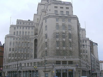
Guards Chapel, London
Map
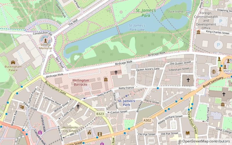
Map

Facts and practical information
The Royal Military Chapel, commonly known as the Guards' Chapel, is a British chapel that serves as the religious home of the Household Division at the Wellington Barracks in London, United Kingdom. Completed in 1838 in the style of a Grecian temple and re-designed during the 1870s, the chapel was damaged by German bombing during the Blitz in 1940 and 1941. ()
Coordinates: 51°30'1"N, 0°8'7"W
Address
City of Westminster (St. James's)London
ContactAdd
Social media
Add
Day trips
Guards Chapel – popular in the area (distance from the attraction)
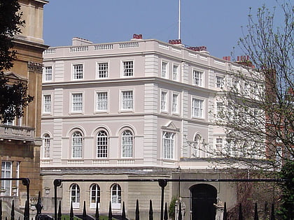
Nearby attractions include: Buckingham Palace, Churchill War Rooms, St. James's Park, Clarence House.
Frequently Asked Questions (FAQ)
Which popular attractions are close to Guards Chapel?
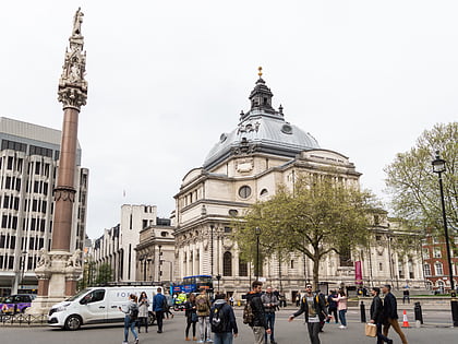
Nearby attractions include Flanders Fields Memorial Garden, London (1 min walk), Birdcage Walk, London (1 min walk), The Guards Museum, London (2 min walk), London/Westminster, London (3 min walk).
How to get to Guards Chapel by public transport?
The nearest stations to Guards Chapel:
Bus
Metro
Ferry
Train
Bus
- Buckingham Palace Road / Bressenden Place • Lines: 38, N38 (11 min walk)
- Victoria Station • Lines: 13, 16, 170, 185, 2, 36, 44, A6, C10, N136, N16, N2, N44 (13 min walk)
Metro
- Victoria • Lines: Circle, District, Victoria (11 min walk)
- Westminster • Lines: Circle, District, Jubilee (13 min walk)
Ferry
- Westminster Pier • Lines: Blue Tour, Green Tour, Rb1, Rb1X, Rb2, Red Tour (14 min walk)
- London Eye - Waterloo Pier • Lines: Rb1, Rb1X, Rb2, Red Tour (18 min walk)
Train
- London Victoria (15 min walk)
- Charing Cross (18 min walk)

 Tube
Tube


