Lewes Brooks, Lewes
Map

Map

Facts and practical information
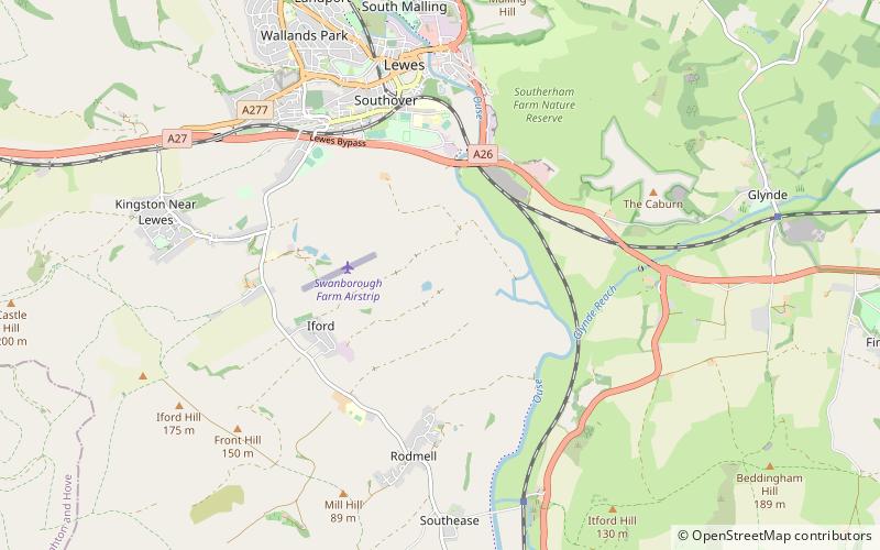
Lewes Brooks is a 339.1-hectare biological Site of Special Scientific Interest south of Lewes in East Sussex. The Falmer-Glynde and the Ouse valleys meet in Lewes Brooks, and the Upper and Lower Rises are the remains of the chalk uplands eroded by the Ouse. ()
Coordinates: 50°51'12"N, 0°1'4"E
Address
Lewes
ContactAdd
Social media
Add
Day trips
Lewes Brooks – popular in the area (distance from the attraction)
Nearby attractions include: Lewes Priory, Monk's House, Railway Land, Anne of Cleves House.


