Tooley Street, London
Map
Gallery

Facts and practical information
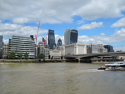
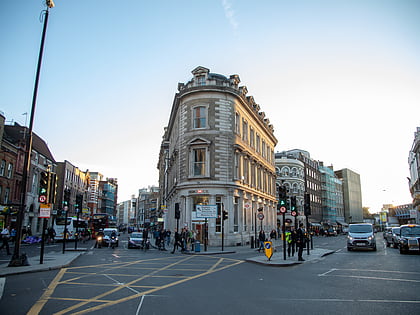
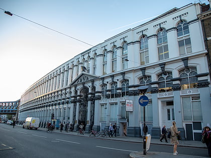
Tooley Street is a road in central and south London connecting London Bridge to St Saviour's Dock; it runs past Tower Bridge on the Southwark/Bermondsey side of the River Thames, and forms part of the A200 road. ()
Coordinates: 51°30'17"N, 0°5'1"W
Address
Southwark (Riverside)London
ContactAdd
Social media
Add
Day trips
Tooley Street – popular in the area (distance from the attraction)
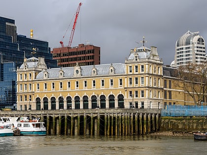
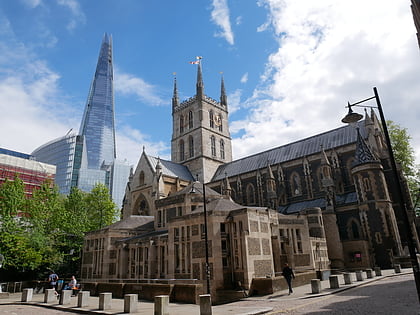
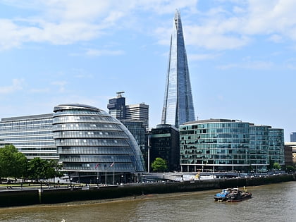
Nearby attractions include: Borough Market, City Hall, Old Billingsgate Market, Southwark Cathedral.
Frequently Asked Questions (FAQ)
Which popular attractions are close to Tooley Street?
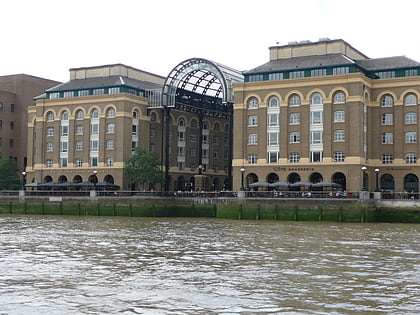
Nearby attractions include Hay's Galleria, London (3 min walk), The Shard, London (4 min walk), Unicorn Theatre, London (4 min walk), HMS Belfast, London (5 min walk).
How to get to Tooley Street by public transport?
The nearest stations to Tooley Street:
Bus
Ferry
Metro
Train
Light rail
Bus
- London Bridge Bus Station (4 min walk)
- London Bridge Station • Lines: 343, 381, 388, 47, N199, N381 (4 min walk)
Ferry
- London Bridge City Pier • Lines: Rb1, Rb1X, Rb2, Rb6 (5 min walk)
- Tower Millennium Pier • Lines: Rb1, Rb1X, Rb2, Red Tour (7 min walk)
Metro
- London Bridge • Lines: Jubilee, Northern (5 min walk)
- Monument • Lines: Circle, District (11 min walk)
Train
- London Cannon Street (14 min walk)
- London Fenchurch Street (14 min walk)
Light rail
- Bank Platform 9 • Lines: B-L, B-Wa (14 min walk)
- Tower Gateway Platform 1 • Lines: Tg-B (15 min walk)


 Tube
Tube

