Threadneedle Street, London
Map
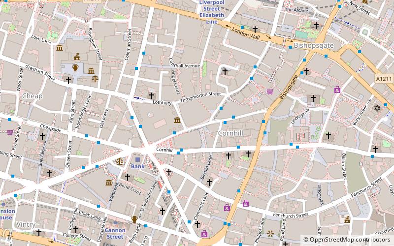
Map

Facts and practical information
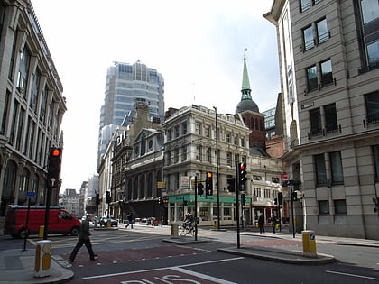
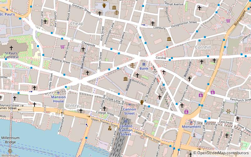
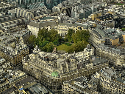
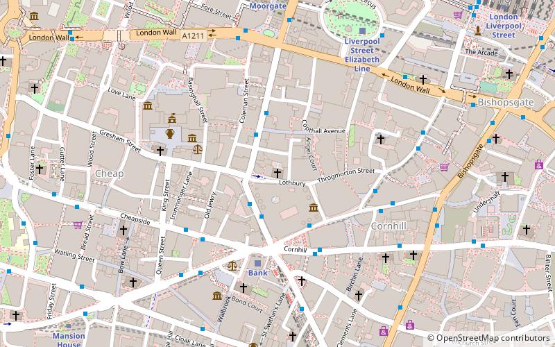
Threadneedle Street is a street in the City of London, England between Bishopsgate at its northeast end and Bank junction in the southwest. It is one of nine streets that converge at Bank. It lies in the ward of Cornhill. ()
Address
City of London (Walbrook)London
ContactAdd
Social media
Add
Day trips
Threadneedle Street – popular in the area (distance from the attraction)
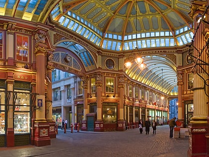
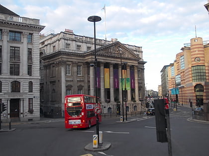
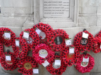
Nearby attractions include: Leadenhall Market, Mansion House, St Peter upon Cornhill, London Troops War Memorial.
Frequently Asked Questions (FAQ)
Which popular attractions are close to Threadneedle Street?
Nearby attractions include Bank of England Museum, London (2 min walk), London Troops War Memorial, London (2 min walk), Statue of James Henry Greathead, London (2 min walk), St Michael, London (3 min walk).
How to get to Threadneedle Street by public transport?
The nearest stations to Threadneedle Street:
Bus
Train
Light rail
Metro
Ferry
Bus
- Old Broad Street • Lines: 26, N242, N26, N551 (2 min walk)
- Threadneedle Street • Lines: 388, 8, N242 (3 min walk)
Train
- Bank (4 min walk)
- London Cannon Street (8 min walk)
Light rail
- Bank Platform 10 • Lines: B-L, B-Wa (4 min walk)
- Tower Gateway Platform 1 • Lines: Tg-B (16 min walk)
Metro
- Bank • Lines: Central, Northern, Waterloo & City (5 min walk)
- Monument • Lines: Circle, District (7 min walk)
Ferry
- London Bridge City Pier • Lines: Rb1, Rb1X, Rb2, Rb6 (13 min walk)
- Bankside Pier • Lines: Green Tour, Rb1, Rb1X, Rb2 (15 min walk)

 Tube
Tube