Newman Arms, London
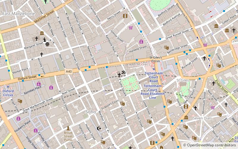
Map
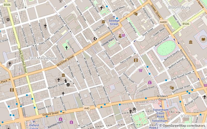
Map

Facts and practical information
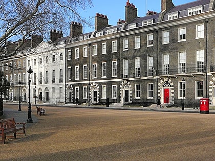
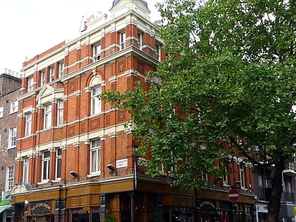
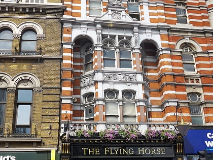
The Newman Arms is a public house and restaurant at 23 Rathbone Street, Fitzrovia, London, W1. The pub dates back to 1730, and was once a brothel. ()
Coordinates: 51°31'5"N, 0°8'7"W
Address
23 Rathbone StreetCity of Westminster (West End)London
Contact
+44 20 7636 1127
Social media
Add
Day trips
Newman Arms – popular in the area (distance from the attraction)
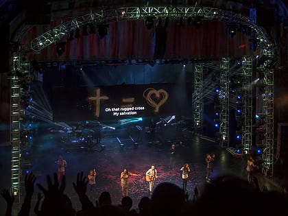
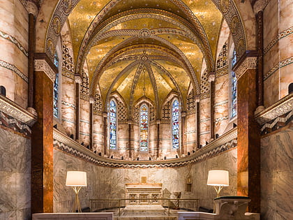
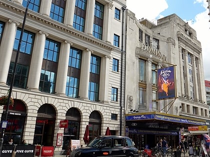
Nearby attractions include: Hillsong Church UK, Radha Krishna Temple, Fitzrovia Chapel, Dominion Theatre.
Frequently Asked Questions (FAQ)
Which popular attractions are close to Newman Arms?
Nearby attractions include Goodge Place Market, London (3 min walk), Fitzrovia Chapel, London (3 min walk), Pollock's Toy Museum, London (4 min walk), Welsh Church of Central London, London (5 min walk).
How to get to Newman Arms by public transport?
The nearest stations to Newman Arms:
Bus
Metro
Train
Ferry
Bus
- Wardour Street • Lines: 55, N55 (4 min walk)
- Oxford Street / Soho Street • Lines: 55, N55 (4 min walk)
Metro
- Goodge Street • Lines: Northern (5 min walk)
- Tottenham Court Road • Lines: Central, Northern (7 min walk)
Train
- London Euston (19 min walk)
- Charing Cross (23 min walk)
Ferry
- Embankment • Lines: Green Tour, Rb1, Rb1X, Rb2, Rb6 (25 min walk)
- Festival Pier • Lines: Green Tour (28 min walk)

 Tube
Tube