Hardy's Well, Manchester
Map

Gallery

Facts and practical information
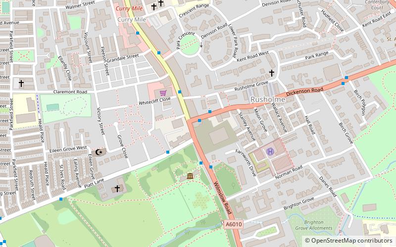
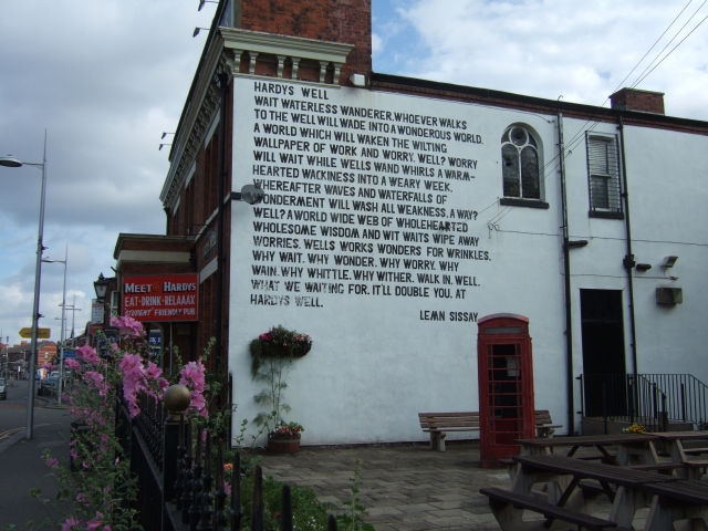
Hardy's Well was a public house located at the end of the Curry Mile, at 257 Wilmslow Road, in Rusholme, south Manchester, near to Platt Fields Park. The 200-year-old building is named after Hardy's Brewery, and was formerly known as Birch Villa, later the Birch Villa Hotel, which has existed on the site since 1837. The front of the building has a Hardy's mosaic on it, and is two storeys high with three bays, built of red brick. ()
Coordinates: 53°27'7"N, 2°13'19"W
Address
RusholmeManchester
ContactAdd
Social media
Add
Day trips
Hardy's Well – popular in the area (distance from the attraction)
Nearby attractions include: Manchester Aquatics Centre, Elizabeth Gaskell's House, Whitworth Art Gallery, Platt Fields Park.
Frequently Asked Questions (FAQ)
Which popular attractions are close to Hardy's Well?
Nearby attractions include Holy Trinity Platt Church, Manchester (5 min walk), Appleby Lodge, Manchester (7 min walk), Manchester Central Mosque, Manchester (8 min walk), Platt Fields Park, Manchester (9 min walk).
How to get to Hardy's Well by public transport?
The nearest stations to Hardy's Well:
Bus
Bus
- DICKENSON Road/Wilmslow Road • Lines: 53 (1 min walk)
- Rusholme, Wilmslow Road • Lines: 42, 42B, 42C, 53 (2 min walk)

 Metrolink
 Metrolink / Rail


