Worsbrough Mill, Barnsley
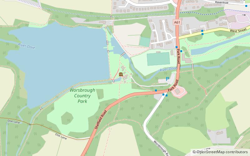
Map

Gallery

Facts and practical information
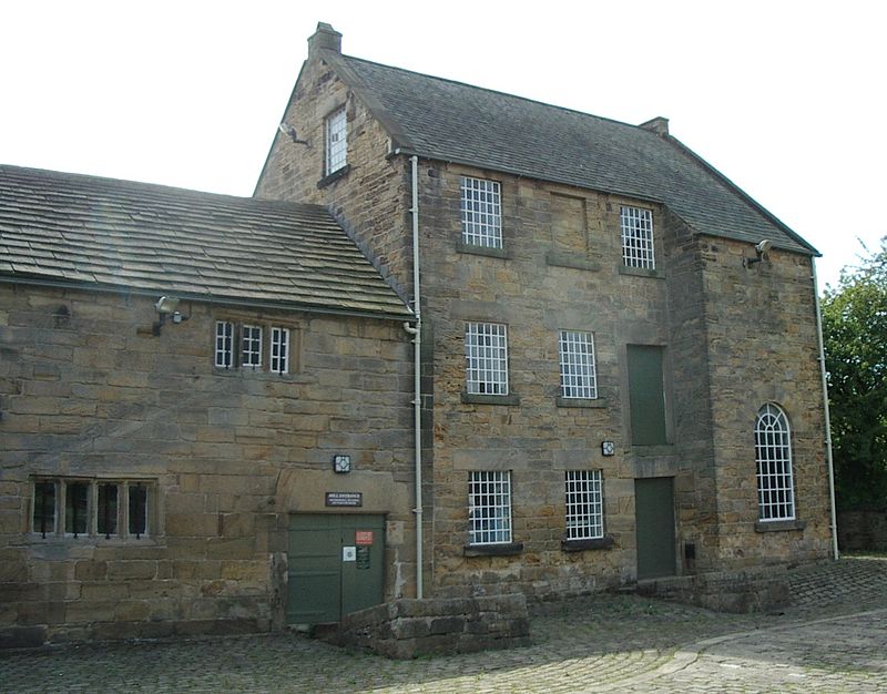
Worsbrough Mill, also known as Worsbrough Corn Mill and Worsbrough Mill Farm is a complex of buildings including a seventeenth-century water-powered mill and a nineteenth-century steam-powered mill in Worsbrough, Barnsley, England. The mill is open to the public and takes its water from the River Dove, but is hydraulically separate from Worsbrough Reservoir. ()
Coordinates: 53°31'31"N, 1°28'27"W
Day trips
Worsbrough Mill – popular in the area (distance from the attraction)
Nearby attractions include: Locke Park, Stainborough, Church of St Mary, Ward Green.
Frequently Asked Questions (FAQ)
Which popular attractions are close to Worsbrough Mill?
Nearby attractions include Church of St Mary, Barnsley (11 min walk), Ward Green, Barnsley (22 min walk).
How to get to Worsbrough Mill by public transport?
The nearest stations to Worsbrough Mill:
Bus
Bus
- Park Road/Edmund Street • Lines: X17 (11 min walk)
- Sheffield Road/Castle View • Lines: X17 (25 min walk)


