Derby Catacombs, Derby
Map

Map

Facts and practical information
The Derby Catacombs are a series of tunnels running beneath the city of Derby, most notably beneath the Marketplace and Derby Guildhall. Access to the tunnels is available via a back room of the nearby Tiger pub. ()
Coordinates: 52°55'21"N, 1°28'35"W
Address
ArboretumDerby
ContactAdd
Social media
Add
Day trips
Derby Catacombs – popular in the area (distance from the attraction)
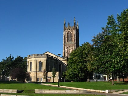
Nearby attractions include: Derbion, Derby Museum and Art Gallery, Derby Cathedral, St Mary's Bridge Chapel.
Frequently Asked Questions (FAQ)
Which popular attractions are close to Derby Catacombs?
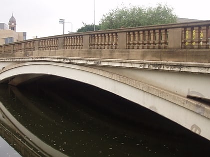
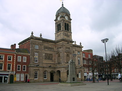
Nearby attractions include Guildhall Theatre, Derby (1 min walk), St. James Priory, Derby (2 min walk), Derby War Memorial, Derby (2 min walk), Exeter Bridge, Derby (4 min walk).
How to get to Derby Catacombs by public transport?
The nearest stations to Derby Catacombs:
Bus
Train
Bus
- Albert Street • Lines: 17, 17A, 8, 9, Allestree Blue, Allestree Green, Mickleover Blue, Mickleover Green, Swift, Unibus6, V1, V3 (2 min walk)
- Corporation Street • Lines: 9.1, 9.3, Amberline, H1 (2 min walk)
Train
- Derby (19 min walk)


