Henley Park, Chiltern Hills
Map

Map

Facts and practical information
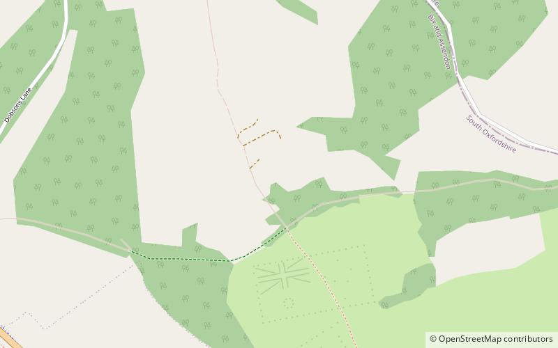
Henley Park is a country house and landscape garden in Bix and Assendon civil parish in the Chiltern Hills of South Oxfordshire, England. The house is about 1.5 miles north of Henley-on-Thames. The park adjoins the county boundary with Buckinghamshire. ()
Elevation: 344 ft a.s.l.Coordinates: 51°33'25"N, 0°55'0"W
Address
Chiltern Hills
ContactAdd
Social media
Add
Day trips
Henley Park – popular in the area (distance from the attraction)
Nearby attractions include: Fawley Court, Lambridge Wood, St Mary the Virgin's Church, Friar Park.
Frequently Asked Questions (FAQ)
How to get to Henley Park by public transport?
The nearest stations to Henley Park:
Train
Train
- Somersham (19 min walk)
- Bourne Again Junction (23 min walk)


