Marchmont, Edinburgh
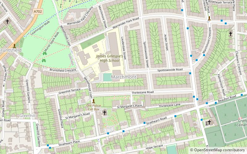
Map
Gallery
Facts and practical information
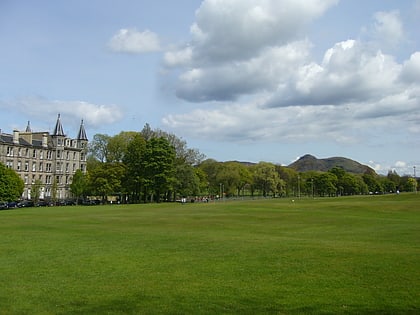
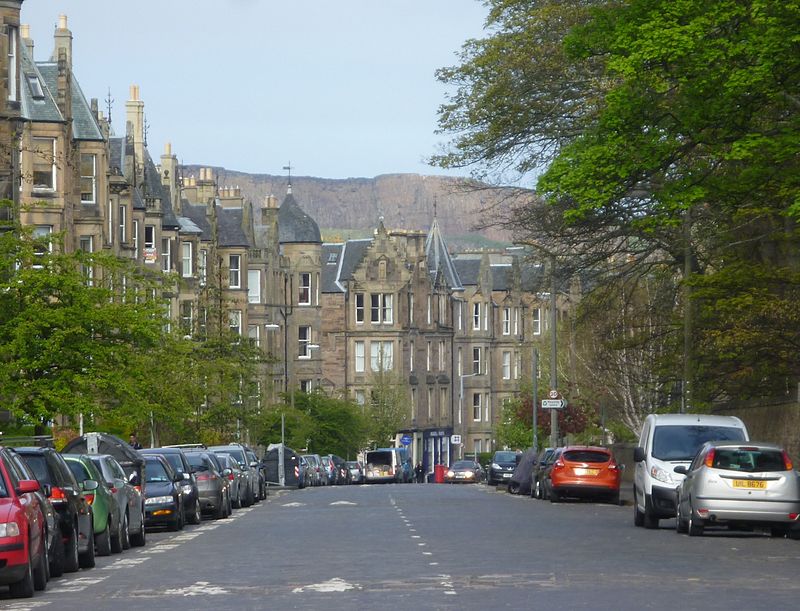
Marchmont is a mainly residential area of Edinburgh, Scotland. It lies roughly one mile to the south of the Old Town, separated from it by The Meadows and Bruntsfield Links. To the west it is bounded by Bruntsfield; to the south-southwest by Greenhill and then Morningside; to the south-southeast by The Grange; and to the east by Sciennes. ()
Coordinates: 55°56'10"N, 3°11'57"W
Address
Southside (Bruntsfield)Edinburgh
ContactAdd
Social media
Add
Day trips
Marchmont – popular in the area (distance from the attraction)
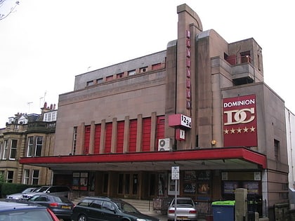
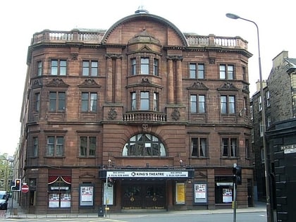
Nearby attractions include: Bruntsfield Links, Warrender Swim Centre, The Meadows, Cameo Cinema.
Frequently Asked Questions (FAQ)
Which popular attractions are close to Marchmont?
Nearby attractions include Gillis Centre, Edinburgh (3 min walk), St Catherine's Argyle Church, Edinburgh (9 min walk), Barclay Viewforth Church, Edinburgh (10 min walk), Holy Corner, Edinburgh (12 min walk).
How to get to Marchmont by public transport?
The nearest stations to Marchmont:
Bus
Tram
Train
Bus
- Thirlestane Road • Lines: 41 (6 min walk)
- Marchmont Crescent • Lines: 41 (6 min walk)
Tram
- West End • Lines: Edinburgh Trams Eastbound, Edinburgh Trams Westbound (26 min walk)
- Haymarket • Lines: Edinburgh Trams Eastbound, Edinburgh Trams Westbound (27 min walk)
Train
- Haymarket (26 min walk)
- Edinburgh Waverley (30 min walk)

