Bevois Valley, Southampton
Map

Map

Facts and practical information
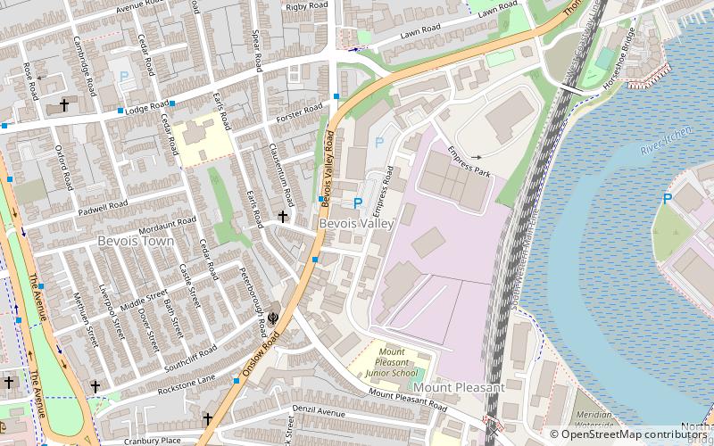
Bevois Valley is an inner city area of Southampton, England, within Bevois Electoral Ward, and includes areas called Bevois Town and Bevois Mount. The area lies south of and adjoins Portswood and is within easy walking distance of the city centre. It follows the line of the original valley of the River Itchen and as such the land is primarily clays and shingles. ()
Coordinates: 50°55'3"N, 1°23'41"W
Address
Southampton Test (Bevois)Southampton
ContactAdd
Social media
Add
Day trips
Bevois Valley – popular in the area (distance from the attraction)
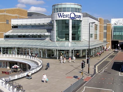
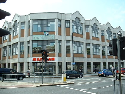
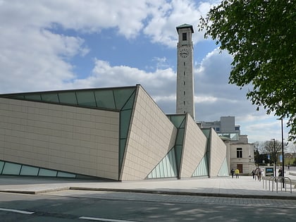
Nearby attractions include: Westquay, The Marlands, St Mary's Stadium, SeaCity Museum.
Frequently Asked Questions (FAQ)
Which popular attractions are close to Bevois Valley?
Nearby attractions include St. Edmund Church, Southampton (11 min walk), Nicholstown, Southampton (11 min walk), Northam Bridge, Southampton (11 min walk), Rockstone Place Park, Southampton (12 min walk).
How to get to Bevois Valley by public transport?
The nearest stations to Bevois Valley:
Bus
Train
Bus
- Archers Road • Lines: U1A, U2, U2B, U2C (9 min walk)
- Stag Gates • Lines: U1A, U2, U2B, U2C (10 min walk)
Train
- St Denys (12 min walk)
- Bitterne (20 min walk)


