Ferguslie Park, Paisley
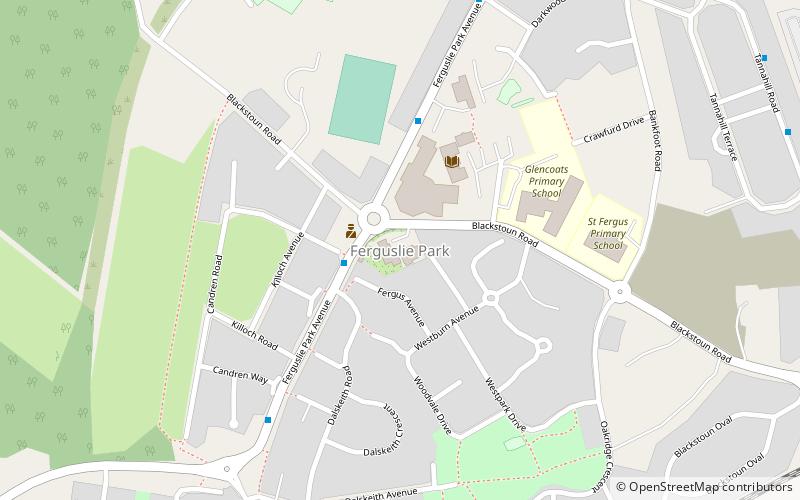
Map
Map

Facts and practical information
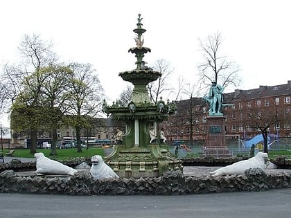
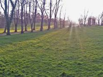
Ferguslie Park is a residential suburb at the north-west extremity of Paisley in Renfrewshire, Scotland. It is bordered by the town of Linwood to the west and Glasgow Airport to the north. Ferguslie Park has history of being among the most deprived communities in Scotland. Attempts have been made at regeneration despite significant challenges. ()
Coordinates: 55°50'55"N, 4°27'17"W
Address
Paisley
ContactAdd
Social media
Add
Day trips
Ferguslie Park – popular in the area (distance from the attraction)
Nearby attractions include: St Mirren Park, Coats Observatory, Thomas Coats Memorial Baptist Church, Fountain Gardens.
Frequently Asked Questions (FAQ)
Which popular attractions are close to Ferguslie Park?
Nearby attractions include St Mirren Park, Paisley (11 min walk), Thomas Coats Memorial Baptist Church, Paisley (23 min walk).
How to get to Ferguslie Park by public transport?
The nearest stations to Ferguslie Park:
Bus
Train
Bus
- Kinloch Lane • Lines: 64 (2 min walk)
- Tannahill Centre • Lines: 64 (3 min walk)
Train
- Paisley St James (14 min walk)
- Paisley Gilmour Street (30 min walk)


