Chiswick Bridge, London

Map
Facts and practical information
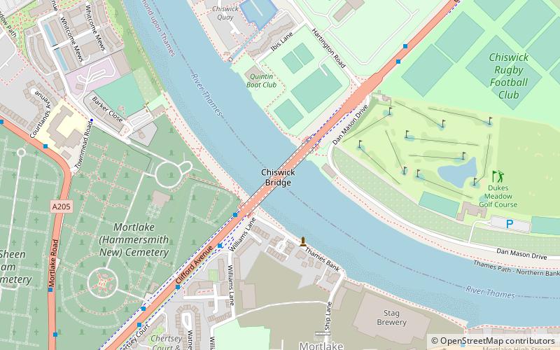
Chiswick Bridge is a reinforced concrete deck arch bridge over the River Thames in West London. One of three bridges opened in 1933 as part of an ambitious scheme to relieve traffic congestion west of London, it carries the A316 road between Chiswick on the north bank of the Thames and Mortlake on the south bank. ()
Address
Hounslow (Chiswick Riverside)London
ContactAdd
Social media
Add
Day trips
Chiswick Bridge – popular in the area (distance from the attraction)
Nearby attractions include: Chiswick House, St Mary the Virgin, Barnes Railway Bridge, North Sheen Cemetery.
Frequently Asked Questions (FAQ)
Which popular attractions are close to Chiswick Bridge?
Nearby attractions include The Championship Course, London (2 min walk), North Sheen Cemetery, London (11 min walk), St Mary the Virgin, London (11 min walk), St Mary Magdalen Roman Catholic Church, London (13 min walk).
How to get to Chiswick Bridge by public transport?
The nearest stations to Chiswick Bridge:
Bus
Train
Metro
Bus
- Thames Bank • Lines: 190 (3 min walk)
- Hartington Road • Lines: 190 (6 min walk)
Train
- Mortlake (10 min walk)
- Chiswick (15 min walk)
Metro
- Kew Gardens • Lines: District (19 min walk)
 Tube
Tube


