Aldcliffe-with-Stodday, Lancaster
Map
Facts and practical information
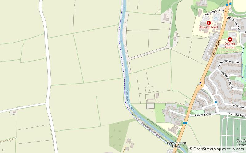
Aldcliffe-with-Stodday or Aldcliffe with Stodday is a civil parish in City of Lancaster district, Lancashire, England. It lies to the south west of central Lancaster and east of the River Lune, and includes the hamlets of Aldcliffe and Stodday. ()
Coordinates: 54°1'48"N, 2°48'36"W
Address
Lancaster
ContactAdd
Social media
Add
Getting there by public transportation
Public transportation stops near this location
- Bus
 Bus
Bus
- Calculate routeAshton Avenue 6 min walk
- Calculate routeIslamic College 10 min walk
- Calculate routePinewood Close 12 min walk
- Calculate routeAshton Road/Bridge Road 15 min walk
Day trips


Frequently Asked Questions (FAQ)
Which popular attractions are close to Aldcliffe-with-Stodday?
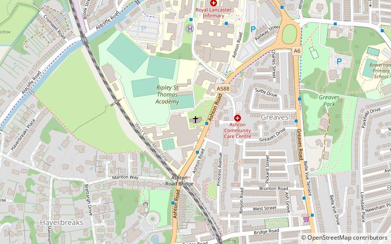
Nearby attractions include St Paul's Church, Lancaster (17 min walk), Ripley School Chapel, Lancaster (20 min walk).
How to get to Aldcliffe-with-Stodday by public transport?
The nearest stations to Aldcliffe-with-Stodday:
Bus
Bus
- Ashton Avenue • Lines: 89 (6 min walk)
- Islamic College • Lines: 89 (10 min walk)