Bath Hills, Norfolk Broads

Gallery (1)
Map
Map
Facts and practical information
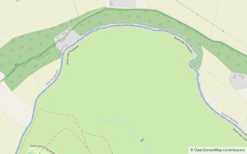
Bath Hills is a 12.2-hectare Local Nature Reserve west of Ditchingham in Norfolk. It is owned by South Norfolk District Council and managed by the Broads Authority. ()
Elevation: 16 ft a.s.l.Coordinates: 52°28'8"N, 1°25'19"E
Address
Norfolk Broads
ContactAdd
Social media
Add
Day trips


