High Crompton, Shaw and Crompton

Gallery (1)
Map
Map
Facts and practical information
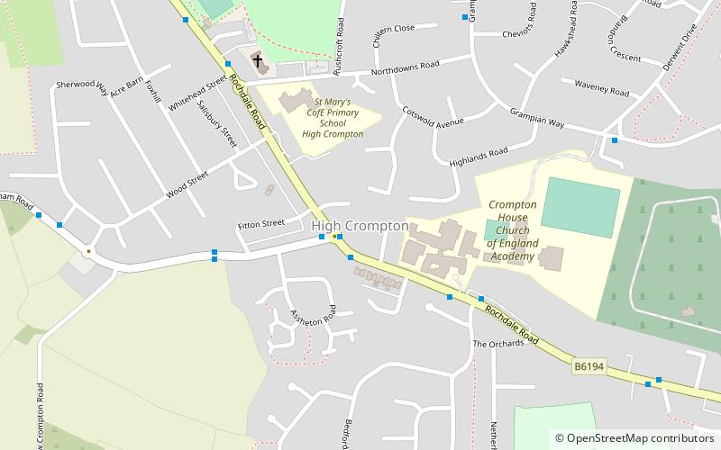
High Crompton is a locality in the west of the Shaw and Crompton parish of the Metropolitan Borough of Oldham, in Greater Manchester, England. It is formed around High Crompton Park and Rochdale Road. ()
Coordinates: 53°34'55"N, 2°6'35"W
Address
Oldham (Crompton)Shaw and Crompton
ContactAdd
Social media
Add
Day trips