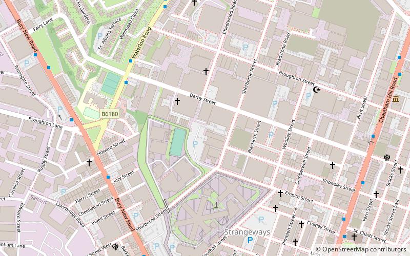
Strangeways, Manchester
Map
Facts and practical information
Strangeways is an area of inner north Manchester, England, around Strangeways Prison just north of the city centre. ()
Coordinates: 53°29'42"N, 2°14'46"W
Address
CheethamManchester
ContactAdd
Social media
Add
Getting there by public transportation
Public transportation stops near this location
- Bus
- Tram
- Train
 Bus
Bus
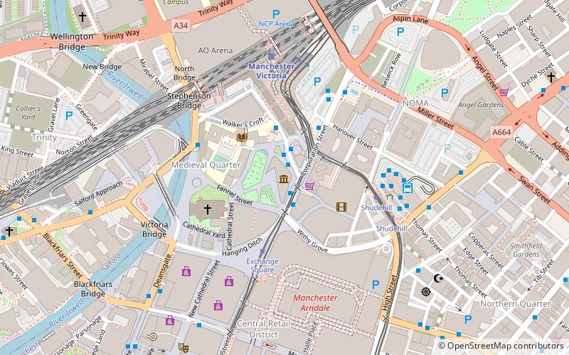
- Calculate routeGREAT DUCIE Street/Strangeways 7 min walk
- Calculate routeVictoria Station Approach 16 min walk
- Calculate routeCorporation Street/Printworks 18 min walk
- Calculate routeManchester Victoria 13 min walk
- Calculate routeSalford Central 24 min walk
- Calculate routeVictoria 14 min walk
- Calculate routeShudehill 19 min walk
- Calculate routeExchange Square 19 min walk
Maps MetrolinkMaps
 Metrolink / Rail
MetrolinkMapsMetrolink / RailDay trips


Frequently Asked Questions (FAQ)
Which popular attractions are close to Strangeways?
Nearby attractions include Manchester Oratory, Manchester (9 min walk), Manchester Jewish Museum, Manchester (9 min walk), Manchester Arena, Manchester (13 min walk), Manchester Fort, Manchester (13 min walk).
How to get to Strangeways by public transport?
The nearest stations to Strangeways:
Bus
Train
Tram
Bus
- GREAT DUCIE Street/Strangeways • Lines: X43 (7 min walk)
- Victoria Station Approach • Lines: 2, 2 (peak) (16 min walk)
Train
- Manchester Victoria (13 min walk)
- Salford Central (24 min walk)
Tram
- Victoria • Lines: Airp, Altr, Bury, EDid, Picc, Roch, Shaw, Vict (14 min walk)
- Shudehill • Lines: Airp, Altr, Bury, Picc, Vict (19 min walk)