Preston Town Hall, Preston

Gallery (1)
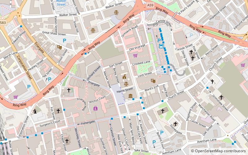
Map
Map
Facts and practical information
Preston Town Hall is a municipal building in Lancaster Road in Preston, Lancashire, England. The town hall, which is the headquarters of Preston City Council, is a Grade II listed building. ()
Coordinates: 53°45'35"N, 2°41'56"W
Address
Lancaster RoadTown CentrePreston
ContactAdd
Social media
Add
Getting there by public transportation
Public transportation stops near this location
- Bus
- Train
 Bus
Bus
- Calculate routeChurch Street Lava/Ignite;Stop G 3 min walk
- Calculate routeChurch Street: J 4 min walk
- Calculate routeBus Station 4 min walk
- Calculate routePreston 12 min walk
Day trips


Frequently Asked Questions (FAQ)
Which popular attractions are close to Preston Town Hall?
Nearby attractions include Sessions House, Preston (1 min walk), Preston Cenotaph, Preston (1 min walk), Covered Market, Preston (2 min walk), Harris Museum, Preston (2 min walk).
How to get to Preston Town Hall by public transport?
The nearest stations to Preston Town Hall:
Bus
Train
Bus
- Church Street Lava/Ignite;Stop G • Lines: 119 (3 min walk)
- Church Street: J • Lines: 109, 112, 125, 153 (4 min walk)
Train
- Preston (12 min walk)