Stoney Road Allotments, Coventry

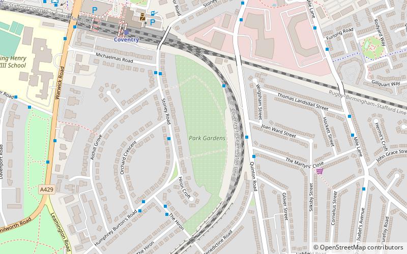
Map
Facts and practical information
Stoney Road Allotments consists of 123 council-owned allotments covering around 5 hectares just south of Coventry city centre. They were created in the mid 19th century as pleasure-gardens for the people of the city, and were Grade II* listed in 2001. ()
Elevation: 305 ft a.s.l.Coordinates: 52°23'54"N, 1°30'37"W
Address
South Coventry (Cheylesmore)Coventry
ContactAdd
Social media
Add
Day trips
Stoney Road Allotments – popular in the area (distance from the attraction)
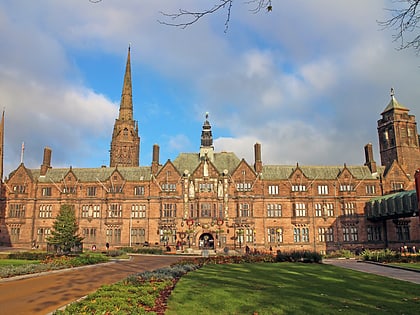
Nearby attractions include: Coventry Cathedral, Butts Park Arena, Herbert Art Gallery and Museum, St Michael's Victory over the Devil.
Frequently Asked Questions (FAQ)
Which popular attractions are close to Stoney Road Allotments?
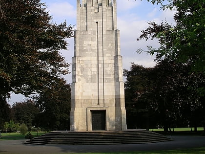
Nearby attractions include CLM Church, Coventry (12 min walk), Coventry War Memorial, Coventry (12 min walk), Queens Road Baptist Church, Coventry (13 min walk), London Road Cemetery, Coventry (14 min walk).
How to get to Stoney Road Allotments by public transport?
The nearest stations to Stoney Road Allotments:
Bus
Train
Bus
- Stoney Rd / Asthill Grove • Lines: 19 (3 min walk)
- Quinton Rd / The Martyrs Close • Lines: 17, 17A, 41 (3 min walk)
Train
- Coventry (6 min walk)


