Braye du Valle, Saint Martin

Map
Facts and practical information
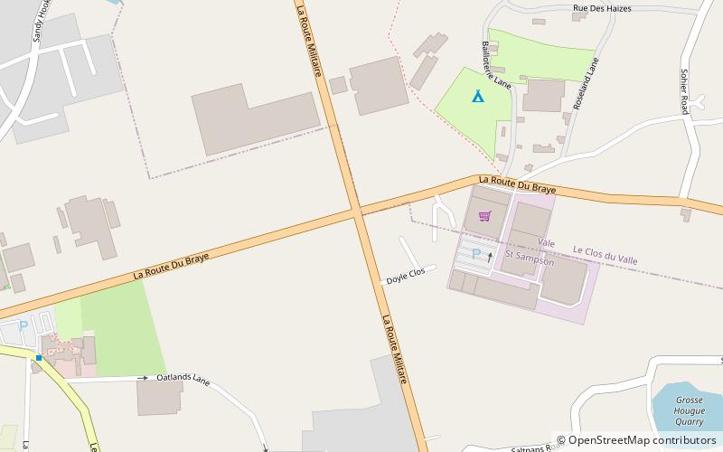
The Braye du Valle is the area between the main Island of Guernsey and Le Clos du Valle, which was a tidal island to the north. ()
Coordinates: 49°29'13"N, 2°32'6"W
Address
Saint Martin
ContactAdd
Social media
Add
Day trips
Braye du Valle – popular in the area (distance from the attraction)
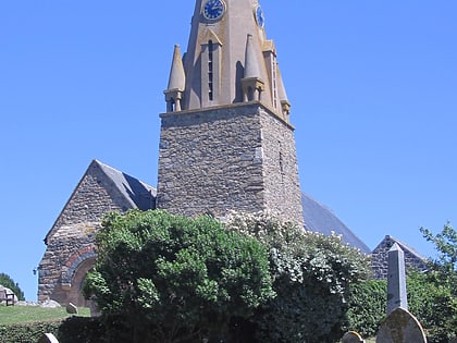
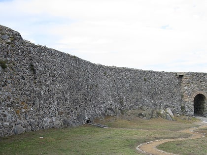
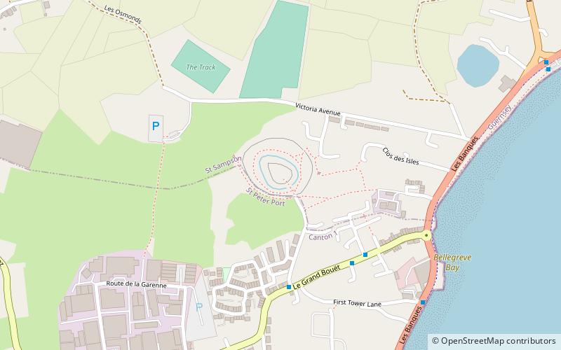
Nearby attractions include: The Vale Church, Vale Castle, Chateau des Marais, The Track.
Frequently Asked Questions (FAQ)
How to get to Braye du Valle by public transport?
The nearest stations to Braye du Valle:
Bus
Bus
- Oatlands • Lines: 21, 22 (10 min walk)
- The Bridge • Lines: 11, 12 (19 min walk)


