Islamic Centre of England, London
Map

Map

Facts and practical information
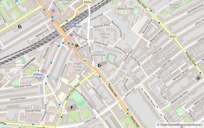
The Islamic Centre of England Ltd is a religious and cultural building at 140 Maida Vale, London, whose mission is "to provide services to members of the Muslim community, in particular, and the wider community at large", focusing on religious guidance and cultural issues. It was founded in December 1995 and opened officially in November 1998. The premises are a former cinema that is a listed building. ()
Coordinates: 51°32'8"N, 0°11'21"W
Address
Camden (Kilburn)London
Contact
+44 20 7543 6000
Social media
Add
Day trips
Islamic Centre of England – popular in the area (distance from the attraction)
Nearby attractions include: Lord's, O2 Centre, Swiss Cottage Market, Freud Museum.
Frequently Asked Questions (FAQ)
Which popular attractions are close to Islamic Centre of England?
Nearby attractions include Ben Uri Gallery & Museum, London (6 min walk), New London Synagogue, London (9 min walk), Paddington Recreation Ground, London (10 min walk), Maida Vale, London (12 min walk).
How to get to Islamic Centre of England by public transport?
The nearest stations to Islamic Centre of England:
Bus
Train
Metro
Bus
- Kilburn High Road Station / Cambridge Avenue • Lines: 206, 31, 316, 32, 328, 632, N28, N31 (5 min walk)
- Kilburn High Road Station • Lines: 206, 31, 632, N28, N31 (5 min walk)
Train
- Kilburn High Road (5 min walk)
- South Hampstead (16 min walk)
Metro
- Kilburn Park • Lines: Bakerloo (6 min walk)
- Maida Vale • Lines: Bakerloo (11 min walk)

 Tube
Tube


