Hyde Park Gardens Mews, London

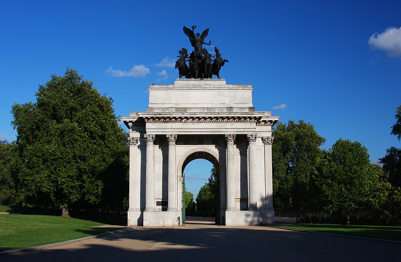
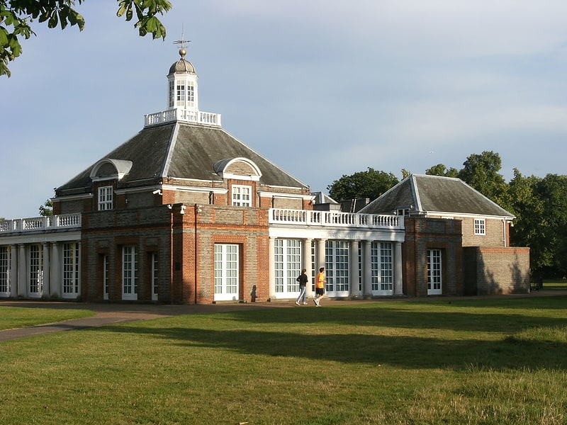
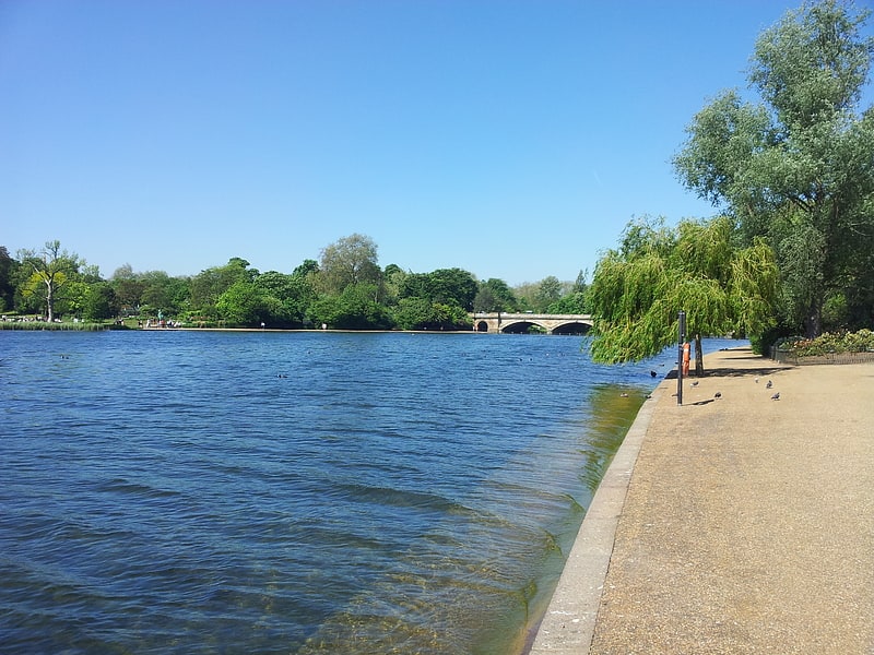
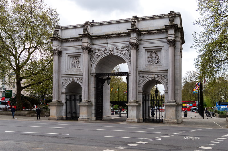
Gallery (2)
Map


Map
Gallery
Facts and practical information
Hyde Park Gardens Mews is a mews street in the Bayswater area of London, W2. The mews consists of 46 residential properties, originally built as stables for Hyde Park Gardens, on a cobbled road with two entrances. The west entrance passes under an archway. The mews is entered by Clarendon Place at the west and Stanhope Terrace to the east. Sussex Place bisects the mews in the middle. ()
Coordinates: 51°30'47"N, 0°10'14"W
Address
City of Westminster (Hyde Park)London
ContactAdd
Social media
Add
Getting there by public transportation
Public transportation stops near this location
- Metro
- Bus
- Train
 Metro
Metro
- Calculate routeLancaster Gate 6 min walk
- Calculate routePaddington 13 min walk
- Calculate routeEdgware Road 13 min walk
- Calculate routeLancaster Gate 10 min walk
- Calculate routePaddington Station / Eastbourne Terrace 11 min walk
- Calculate routeLeinster Terrace 13 min walk
- Calculate routeHermitage Street 13 min walk
- Calculate routeLondon Paddington 11 min walk
- Calculate routeLondon Marylebone 22 min walk
Maps Tube
Tube
TubeDay trips


Frequently Asked Questions (FAQ)
Which popular attractions are close to Hyde Park Gardens Mews?
Nearby attractions include Hyde Park pet cemetery, London (4 min walk), Statue of Edward Jenner, London (7 min walk), Praed Street, London (8 min walk), Paddington, London (8 min walk).
How to get to Hyde Park Gardens Mews by public transport?
The nearest stations to Hyde Park Gardens Mews:
Metro
Bus
Train
Metro
- Lancaster Gate • Lines: Central (6 min walk)
- Paddington • Lines: Bakerloo, Circle, District (13 min walk)
Bus
- Lancaster Gate • Lines: 148, 94, N207 (10 min walk)
- Paddington Station / Eastbourne Terrace • Lines: 205, 23, 27, 332, 36, 7, N205, N27, N7 (11 min walk)
Train
- London Paddington (11 min walk)
- London Marylebone (22 min walk)