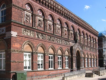
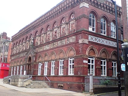
Tunstall Town Hall, Stoke-on-Trent
Map
Map

Facts and practical information
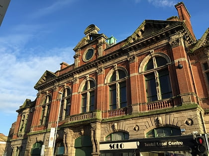
Tunstall Town Hall is a municipal building in the High Street in Tunstall, Staffordshire, England. The structure, which was the meeting place of Tunstall Urban District Council, is a Grade II listed building. ()
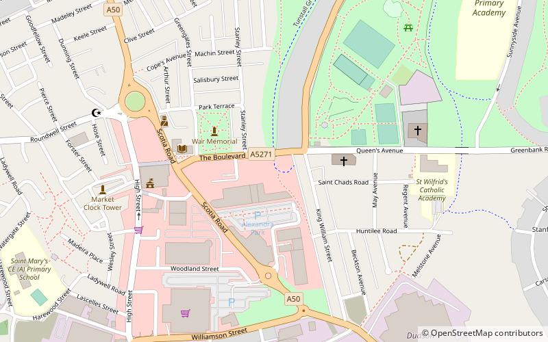
Coordinates: 53°3'31"N, 2°12'22"W
Address
TunstallStoke-on-Trent
ContactAdd
Social media
Add
Day trips
Tunstall Town Hall – popular in the area (distance from the attraction)
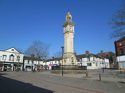
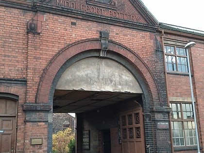
Nearby attractions include: Westport Lake, Golden Torch, Tunstall, Middleport Pottery.
Frequently Asked Questions (FAQ)
Which popular attractions are close to Tunstall Town Hall?
Nearby attractions include Tunstall, Stoke-on-Trent (9 min walk), Westport Lake, Stoke-on-Trent (21 min walk), Longport, Stoke-on-Trent (23 min walk).
How to get to Tunstall Town Hall by public transport?
The nearest stations to Tunstall Town Hall:
Train
Train
- Longport (32 min walk)
