Pavement, York

Gallery (1)
Map
Map
Facts and practical information
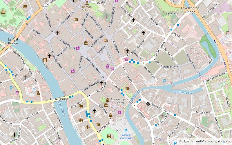
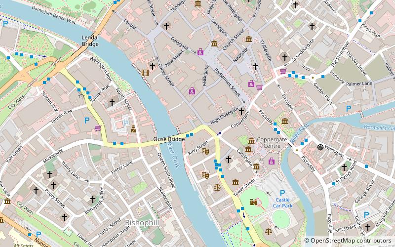
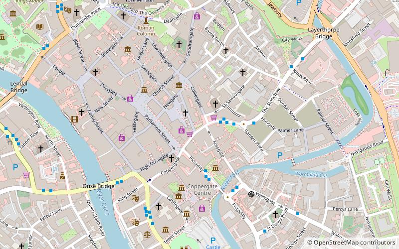
Pavement is a street in the city centre of York, in England. ()
Coordinates: 53°57'31"N, 1°4'47"W
Address
GuildhallYork
ContactAdd
Social media
Add
Getting there by public transportation
Public transportation stops near this location
- Bus
- Train
 Bus
Bus
- Calculate routePiccadilly 2 min walk
- Calculate routeMerchantgate 3 min walk
- Calculate routeClifford Street 4 min walk
- Calculate routeLow Ousegate 4 min walk
- Calculate routeYork 15 min walk
Day trips


Frequently Asked Questions (FAQ)
Which popular attractions are close to Pavement?
Nearby attractions include St Crux Church, York (1 min walk), Whip-Ma-Whop-Ma-Gate, York (1 min walk), Pavement Vaults, York (1 min walk), Fossgate, York (2 min walk).
How to get to Pavement by public transport?
The nearest stations to Pavement:
Bus
Train
Bus
- Piccadilly (2 min walk)
- Merchantgate • Lines: 66 (3 min walk)
Train
- York (15 min walk)