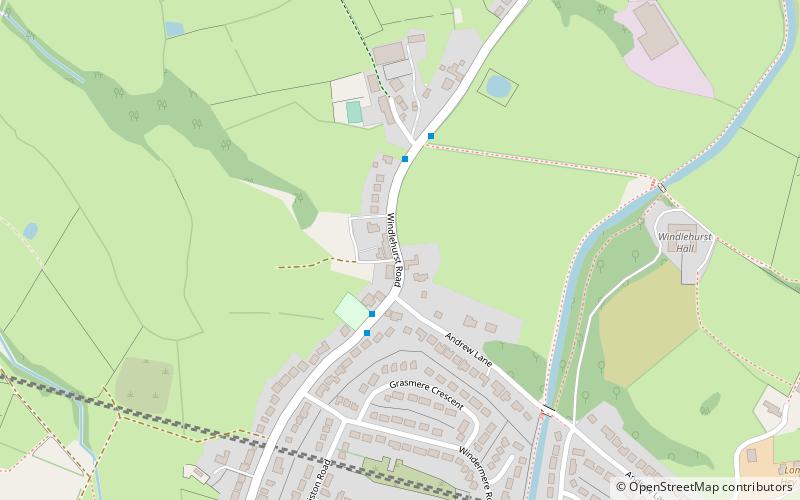
Windlehurst, Stockport
Map
Facts and practical information
Windlehurst is a hamlet situated south of Marple in the Metropolitan Borough of Stockport, Greater Manchester, England. The hamlet had its own primary school until it was closed in the 1990s due to a shortage of pupils. ()
Coordinates: 53°22'23"N, 2°4'30"W
Address
Stockport (Marple South)Stockport
ContactAdd
Social media
Add
Getting there by public transportation
Public transportation stops near this location
- Bus
- Train
 Bus
Bus
- Calculate routeWindlehurst, Windlehurst Road / outside Methodist Church 2 min walk
- Calculate routeMiddlewood 25 min walk
Day trips


Frequently Asked Questions (FAQ)
How to get to Windlehurst by public transport?
The nearest stations to Windlehurst:
Bus
Train
Bus
- Windlehurst, Windlehurst Road / outside Methodist Church • Lines: 394 (2 min walk)
Train
- Middlewood (25 min walk)