Trek Zone

Cotswold Hills Geopark, Chedworth

#8 among attractions in Chedworth

Sightseeing
Cotswold Hills Geopark location map
Map

Facts and practical information
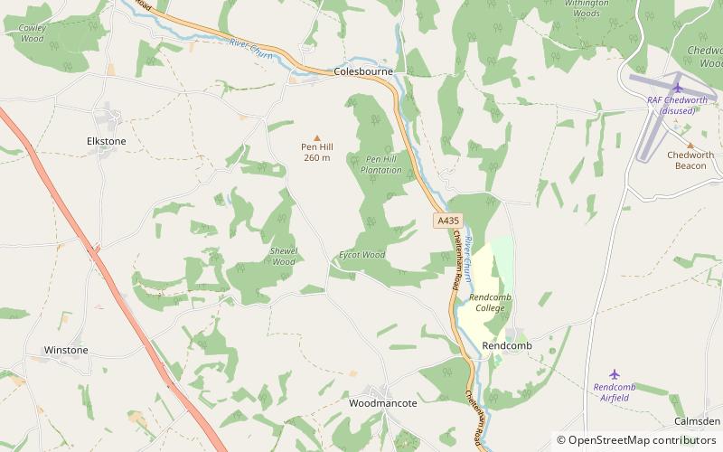
Coordinates: 51°47'60"N, 2°0'0"W
Address

Chedworth United Kingdom

ContactAdd
Social media
Add
Day trips

Cotswold Hills Geopark – popular in the area (distance from the attraction)

Nearby attractions include: Chedworth Roman Villa, Church of St Oswald, Brimpsfield Castle, St Michael's Church.

  • chedworth roman villa3.5 miNE
  • church of st oswald chedworth5 miNE
  • brimpsfield castle cotswold water park3.8 miW
  • st michaels church cotswold water park5.1 miE
  • st marys church cotswold water park4.9 miN
  • st michaels church cotswold water park3.4 miS
  • miserden castle cotswold water park3.7 miW
  • miserden war memorial cotswold water park4.3 miW
  • lineover wood cotswold water park4.7 miN
  • five mile house chedworth1.9 miSW
  • chedworth nature reserve cotswold water park3.5 miNE

Where to next? Visit england England region page or discover the top tourist attractions in United Kingdom.